HENNEPIN CANAL TRAIL
Day 3 - 36 miles
I retraced my steps, this time sliding down the embankment from Ill 40 to the trail.
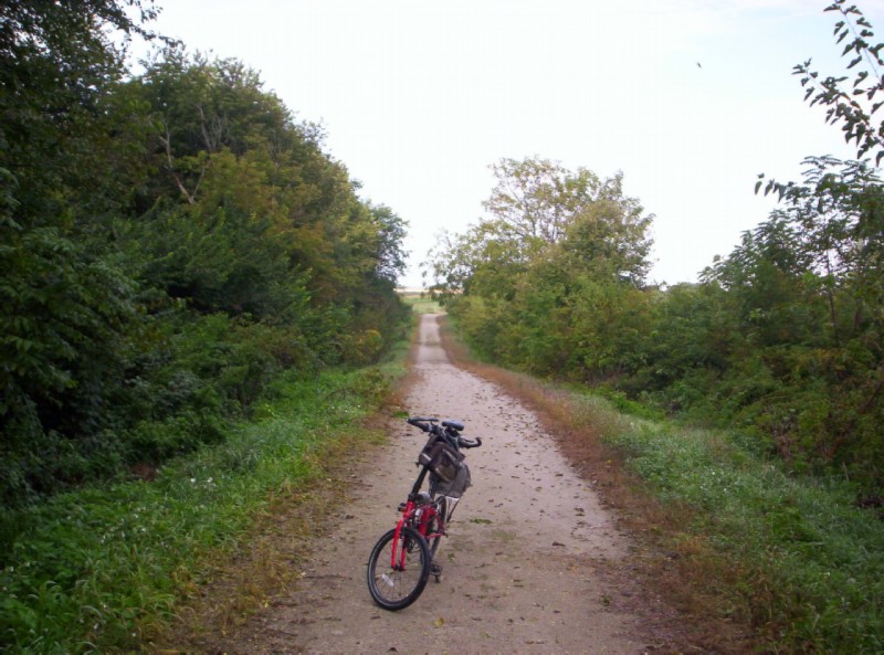
Between Ill 40 and Wyanet.
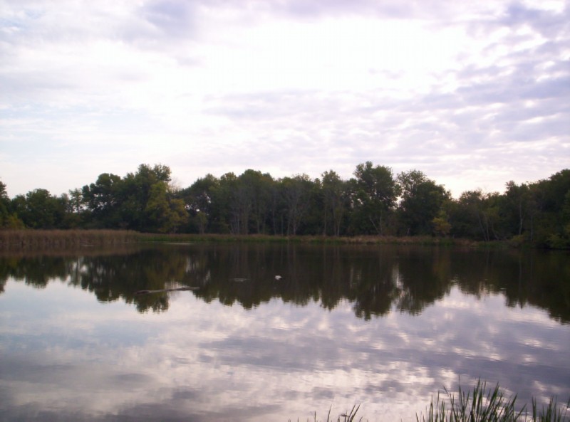
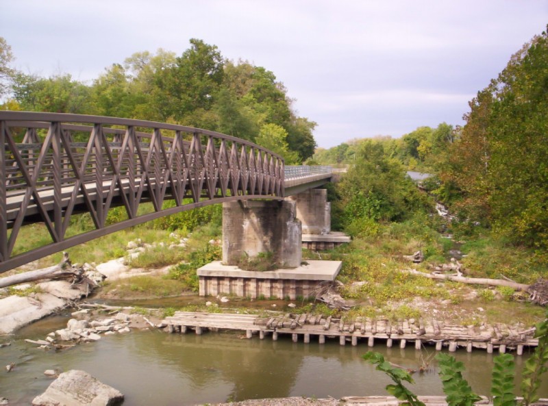
A wide spot in the canal near Bridge 11 (US 6 & 34) west of Wyanet.
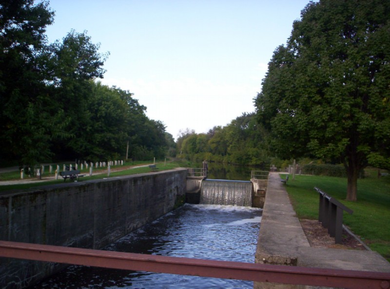
Lock 20 or 21? near Wyanet. The trail is starting to lose altitude here.
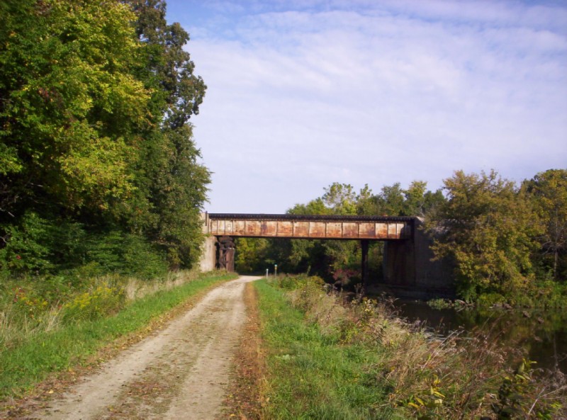
BNSF mainline and Amtrak route crossing the canal just SW of Wyanet.
Dispite a continental breakfast at the motel, I detoured into Wyanet for my favorite bike tour breakfast - pancakes - at the Eagle's Nest Cafe. Again no complaints.
There is a trail that climbs a short distance over the canal to W. Canal street, where a sign points you to the right. After 0.2 mile, a left onto S. King Street takes you into Wyanet. Alternatively, you could turn left on W. Canal and then right on S. West Street. Either way, the center of town is 1.3 miles.
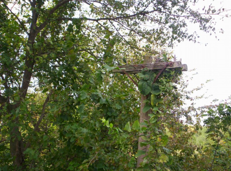
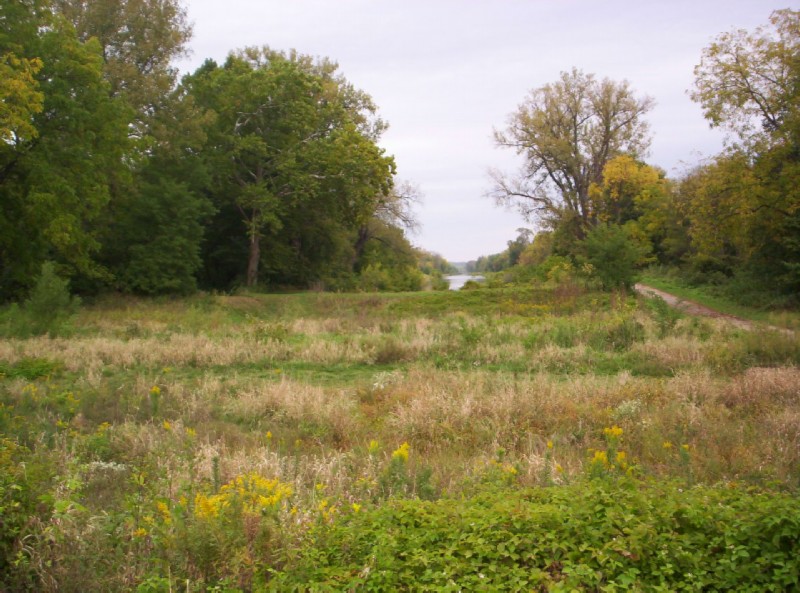
Between Wyanet and Tiskilwa. There were quite of few of these in this area. Apparently, the canal once had use for electricity.
Aquaduct #2?
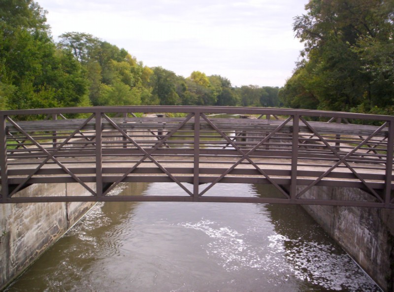
Lock 12
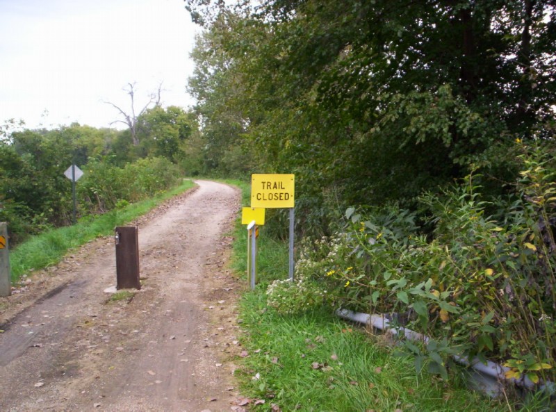
I guess it was easier to cover over the "trail closed" sign near Tiskilwa than to remove it.
They might as well have covered this sign at Bridge 4 as well. I didn't find any closed section.
Between Tiskilwa and Bureau the canal temporarily disappears.
Approaching I180 just west of Bureau Jct.
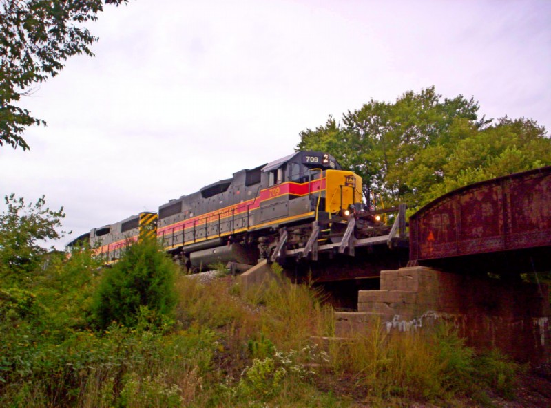
Iowa Interstate Railroad bridge south of Bureau Junction. This line joins up at Bureau Junction with the IIRR line that follows the trail all the way from the Quad Cities, and which I had crossed about 5 miles earlier. The brochure, available from the state park, giving the distances along the canal still refers to the IIRR as the dearly departed Chicago, Rock Island, and Pacific.
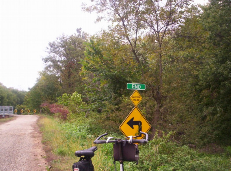
The sign says it all. I was disappointed that the trail stopped about 1/2 mile short of the Illinois River. About all I could see beyond the end of the trail was a small creek in dense woods.
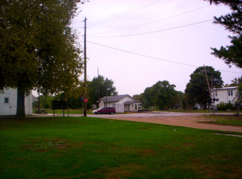
About the time I reached Bureau Junction, it started raining. I took refuge under a picnic pavilion in a park in the center of town. I then went across the street to a bar and grill for lunch. Although it was very dark and, shall we say, not very inviting, it did prove the rule that the only place you can get a good hamburger any more is at a small town bar & grill.
Park in the center of Bureau Junction. I don't remember the name of the Bar & Grill; and Google has never heard of it. Never the less, it is on the corner of Railroad and E. Nebraska Streets to the left in this picture. The two lines of the former Rock Island Line join at the still standing station across the street.
I had initially planned to backtrack the 7.5 miles to Bridge 4 and take the country road north to Princeton. But with more rain threatening, I decided to take the the more direct route via Ill 26. There were two fairly long but gradual climbs; and there was a bike lane (shoulder) the whole way to Princeton; so it was a good choice.
Having plenty of time before the evening departure of the west bound Illinois Zephyr, I looked up my favorite bike tour hang out - the public library. Princeton's new library had the added attraction of a Starbuck's style coffee shop in the lobby.
I enjoyed supper at the Coffee Cup across the tracks from the Amtrak staion. It is a classic diner with a hugh and inexpensive menu.
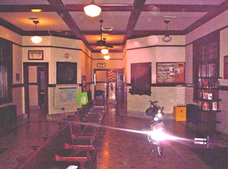
My camara didn't do justice to the very nicely preserved Princeton Amtrak station.
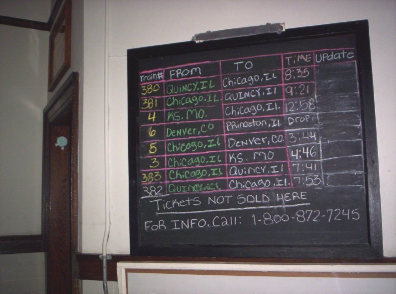
Princeton must be the smallest town in the US with 8 trains calling per day.
The person who created this arrival/departure board had a very provincial outlook. #4 actually comes from Los Angeles, # 6 from Emeryville near San Francisco, #5 goes to Emeryville, and #3 to LA. At least there is an excuse for saying #6 only goes to Princeton, since it is "discharge only", i.e., it won't pick up passengers for Chicago, its destination.
First Previous Next Last