BICYCLING THE ERIE CANAL
Rome to Little Falls
From here to Cohoes on the Hudson River, we will be following the Mohawk Valley as well as the Erie Canal. It is difficult to categorize thie segment between Rome and Little Falls. It had bike path and road portions; and I couldn't tell whether the bike paths were the former canal tow path, former railroad right of ways, or something else. Of course, if I had been looking for a rail trail, I would have recognized tell-tale signs. But none of the web sites or literature mentioned rail trails, only the Erie Canal.
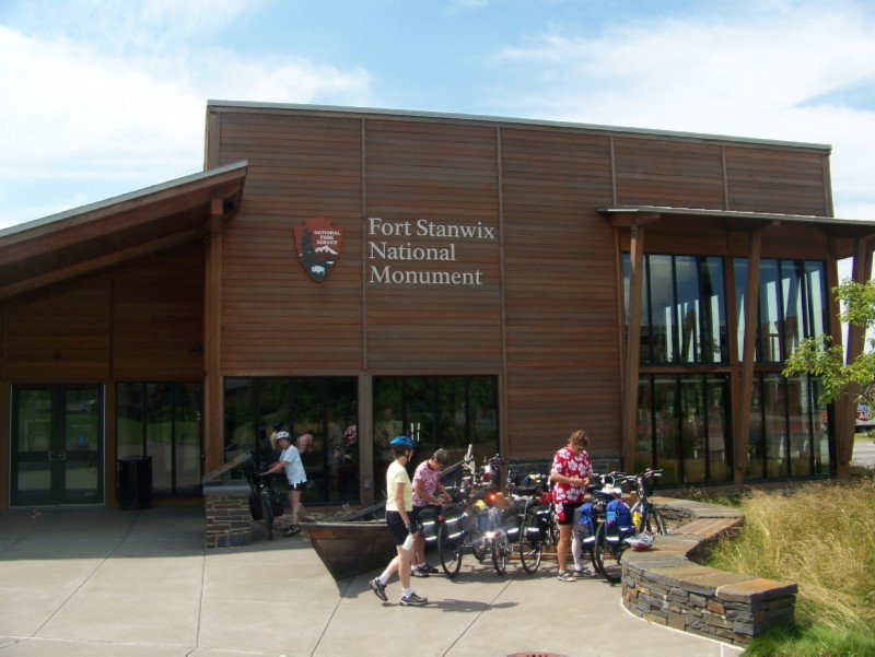
Fort Stanwix National Monument. We enjoyed learning some colonial and Revolutionary War history that I had not been aware of, as well as a respite from the noon day heat.
Rome architecture viewed from the front of Fort Stanwix National Monument. The bike path through the fort grounds is in the foreground.
Heading south out of Rome, we crossed over the canal/river and turned left onto to the Rome-Oriskany Road. Two blocks later we easily found the stone dust bike path on the left (Google maps says simply "Turn Left" without naming the bike path).
After about 6 miles we came to Oriskany, where we had to turn left on River Street and cross over RR tracks. After about 0.7 miles, the path reappeared on the right just before crossing the canal. After about 7 miles the path ended; and following the trail sign we found ourselves on Genesee Street in Utica, a block from the Red Roof Inn. It was quite nice; but as usual no continental breakfast. This was the second of only two motels that seemed to be filled.
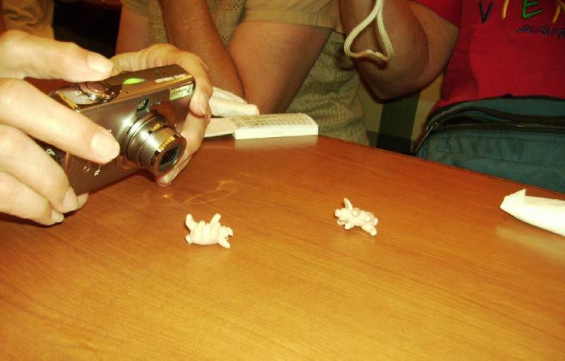
Playing "Pass the Pig" while waiting for our food at Friendly's in Utica . It is similar to craps except that instead of numbers you can roll a Trotter, Razorback, Leaner, Snouter, or Leaning Jowler, each of which earns a certain number of points. Or you can "Pig out", which is like crapping out; you loose all your points on that turn. Worse yet is an Oinker, which causes you to loose all your points earned in the game. Finally, an "Indecent Exposure" puts you out of the game altogether.
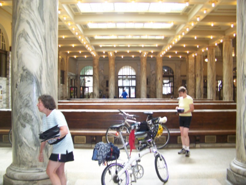
Sadly, prior commitments required Janelle and Marcia to depart the tour at Utica. Here they are getting ready to pack up their bikes in the incredible Utica Union Station. The agent was extremely helpful, not only helping them pack the bikes but waving the box charges.
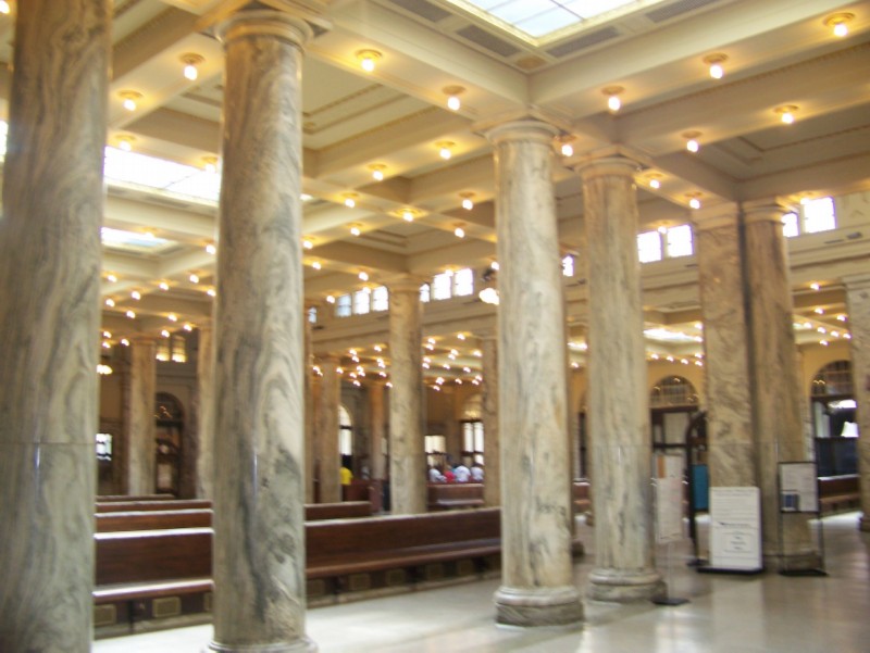
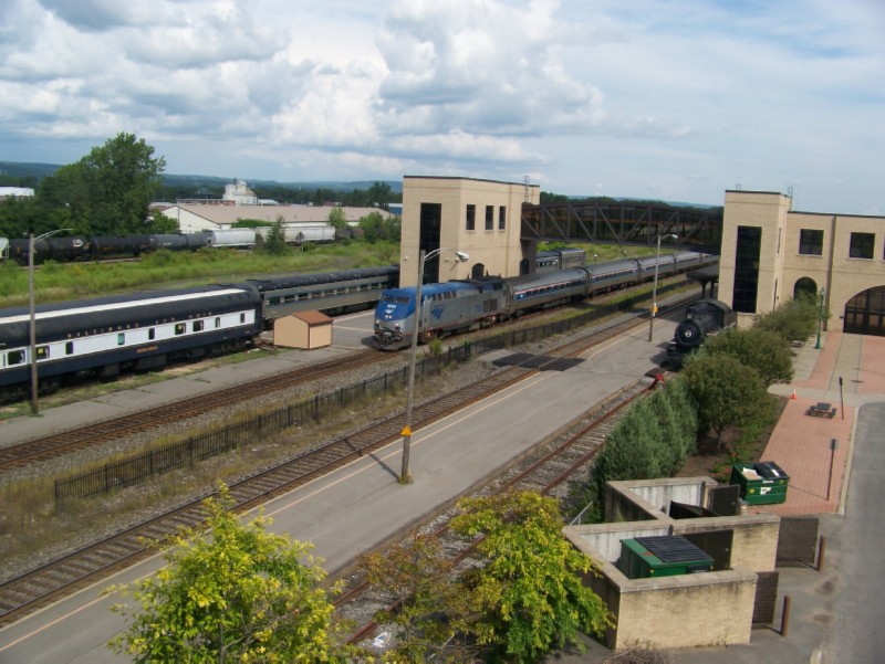
Utica Union Station. Such a contrast to older derelict stations and newer Amshacks.
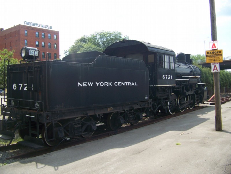
Adirondack Scenic Railroad at the Utica Station.
Utica's children's museum.
Westbound Amtrak Empire Service train calling at Utica.
August 13: Utica to Little Falls; MILEAGE 25; Lodging Knights Inn
WEATHER: Sunny, low 80's, humid.
Our route out of Utica, beginning at the end of the path is shown
here. Water Street was the high point of our abandoned 19th century factories tour. Today and tomorrow was Herkimer Country: villages of Herkimer and Fort Herkimer, Herkimer Historic Church, Herkimer Home, and Oriskany, the Revolutionary War battle of the same name whose hero was General Nicholas Herkimer.
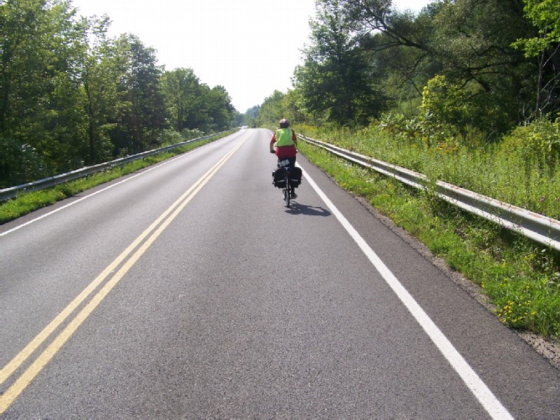
No need to use the bike lane on Old Route 5 between Utica and Frankfort
Nor was was there any problem riding the main street through the mini-megalopolis of Frankfort, Illion, and Mohawk.
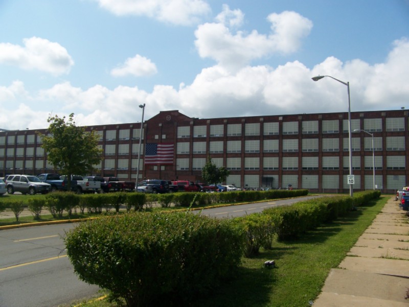
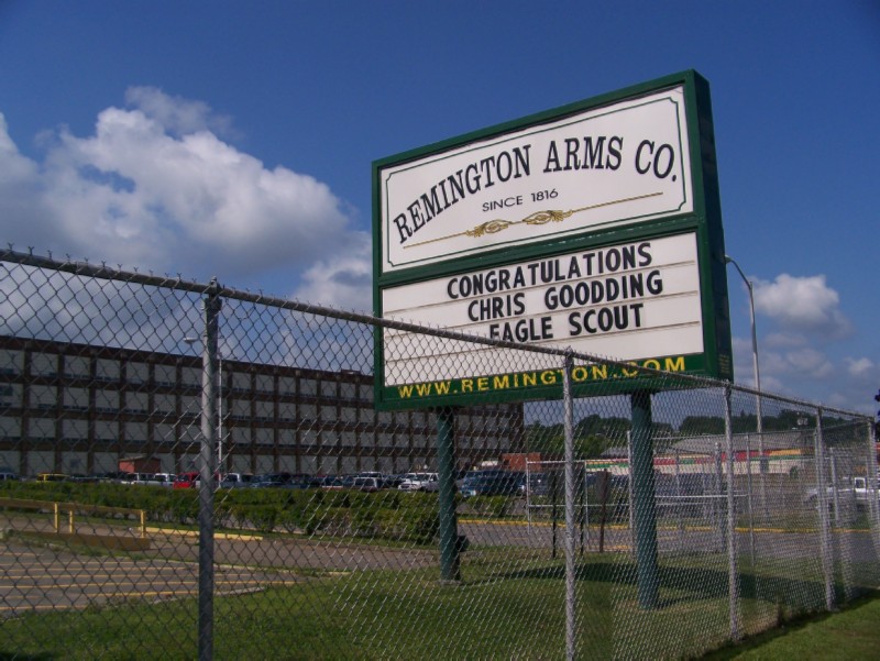
This picture does not due justice to the size of this factory in Illion. It was was least 4 blocks long and 2 blocks wide. At first I assumed it was abandoned like all the rest. But the large number of cars in the parking lot said otherwise.
Mystery solved! a booming business
As were were leaving Mohawk, I was surprised to find a paved path on the left side of Route 5S. It begins just before bridge.
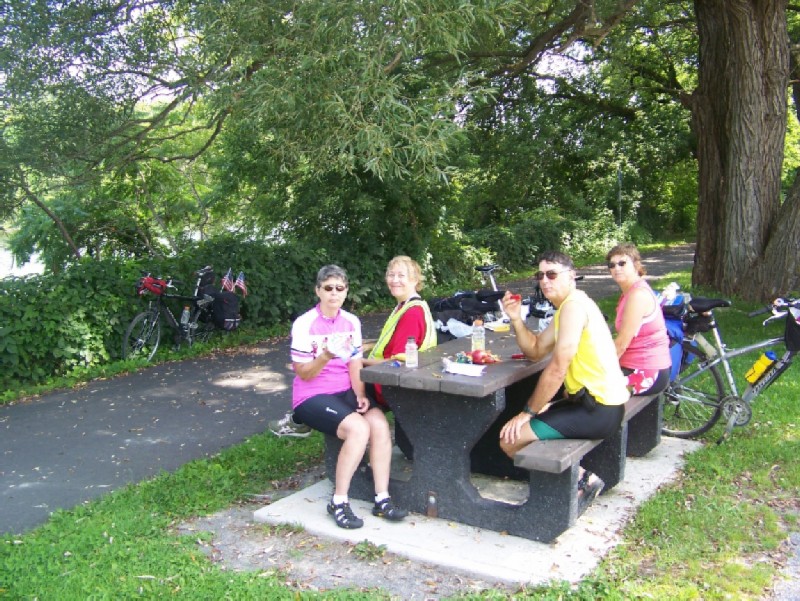
Lunch stop along the path from Mohawk to Fort Herkimer. This was actually a road side rest along Route 5S.
The path ends a short distance beyond the rest stop at the historic Herkimer church. You continue on Route 5S for about 3.9 miles until the junction with Route 167 which goes to Little Falls. I opted go another 250 feet or so and take the much more pleasant Flint Avenue Extension into Little Falls, rather than the busier 167. Just before the canal, turn left on Casler Street for a block; and then cross the bridge on 167 into Little Falls.
In my opinion Little Falls was the most interesting town along the canal. It sits in a deep V-shaped valley and has many very imposing architectural specimens dating to its heyday, which must have been around the time of the civil war.
View of Little Falls from Route 167 bridge.
Anther view of Little Falls. The second story of the Knights Inn, our night's lodging, is just to the left of the radio tower.
Little Falls hydro-electric plant - looking south from the Route 167 bridge
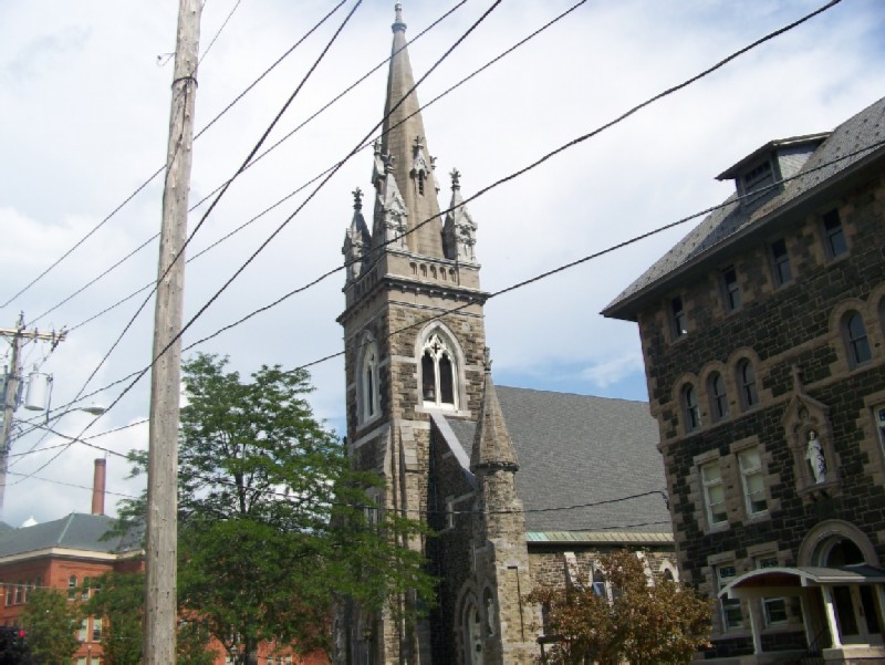
Holy Family church and former school. The even more imposing Benton Hall Academy, the public elementary school, is on the left
Former masonic temple
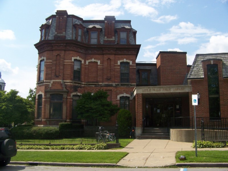
Little Falls Library
Quiet room at Little Falls Library
First Previous Next Last