MADISON COUNTY TRANSIT SYSTEM
Another Two Day Ride
We enjoyed the Madison County Transit trails virus relief so much, we scheduled another two day ride. This time we drove to Edwardsville and parked at Nickel Plate Trail parking lot in the historic Leclaire Station area just south of downtown. The first day we mainly followed the previous second day's route on the Nickel Plate and Glen Carbon Heritage Trails, but in reverse. We then continued west on the Schoolhouse Trail to our nights lodging at the I55 exit on the outskirts of Collinsville. The next day we continued on the Schoolhouse Trail to Horseshoe Lake, then northeast on the Nature Trail, north on the Bluff Trail, and finally east on the Delyte Morris Trail through the SIUE campus back to Edwardsville.
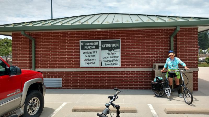
Nickel Plate Trail parking lot. Even though the sign on right proclaims 24 hour video surveillance, the one on the left prohibits overnight parking. A sign on the oposite side of the building states that the rest rooms are closed. Nasty! Nasty!
Fortunately there was a small parking lot with no sign a block south where we were able to park for the night.
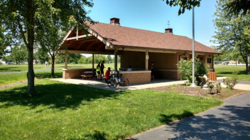
The first time we pulled off the Nickel Plate Trail from the south to Miner Park in Glen Carbon, we encountered a "park closed sign". This time we entered from the north coming from Edwardsville and didn't see any sign. So we proceeded to have lunch at a nice pavilion. But as we were eating, I did notice a park closed sign across the parking lot. A police car passed by without stopping; and as we were leaving, we saw several cars with cyclists getting ready to ride. So apparently, the park had been reopened, but the sign not yet removed.
A blast from the past. Gulf, Mobile, and Ohio Railroad caboose in Miner Park.
After lunch we continued to retrace our steps by heading northeast on the Glen Carbon Heritage Trail and then south on the Goshen Trail. A little south of the exit to Troy we turned west on the Schoolhouse Trail.
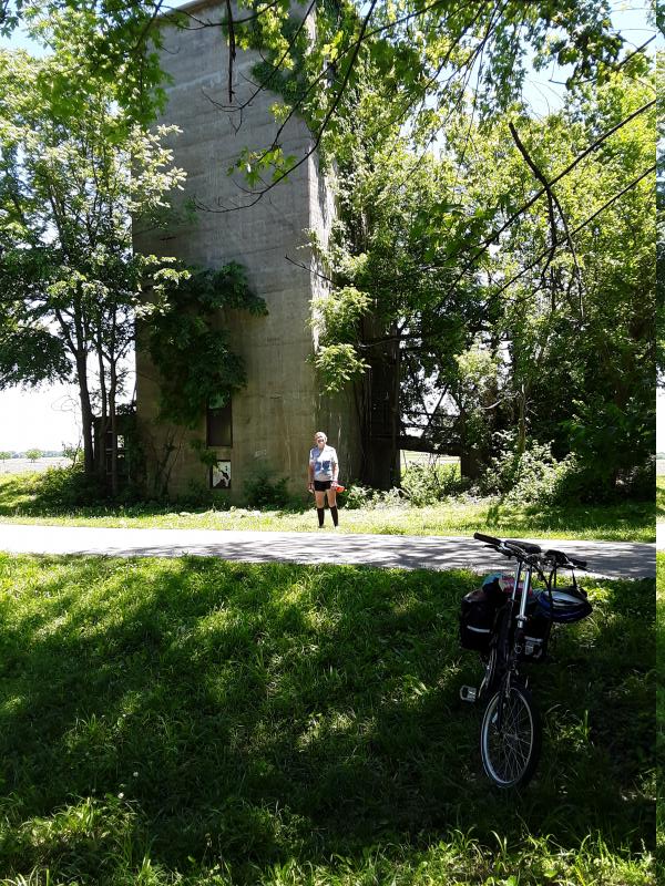
Old grain silo at the trailhead at the junction of the Glen Carbon Heritage and Goshen trails.
Not long after turning onto the Schoolhouse Trail, we came upon Drost Park in Maryville with a very nice bench for a rest.
Pavilion in Drost Park. A group of roadies were meeting here.
Culvers Collinsville. It was convenient; and we ordered by phone and the order was delivered to the nice picnic area. I'm partial to their cod dinners
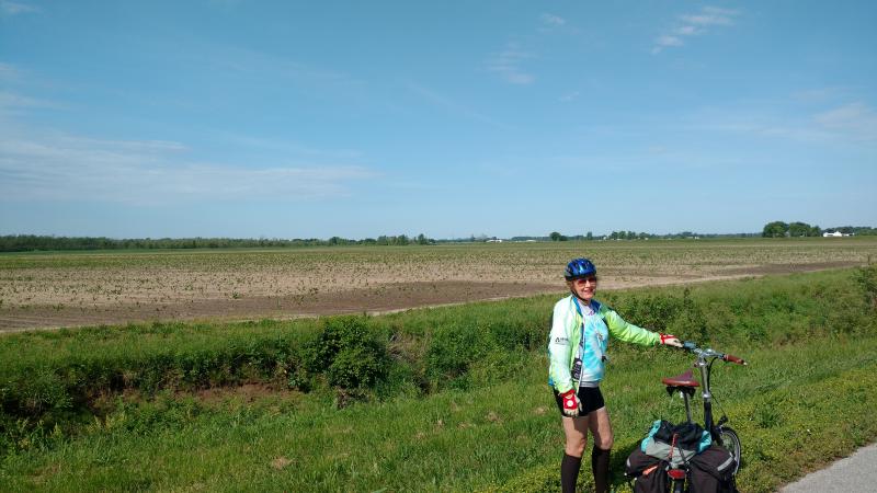
Back in farm country between Collinsville and Horseshoe Lake with St. Louis Arch in the background
Horseshoe Lake
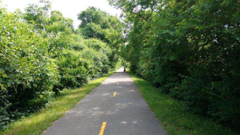
Back in the woods on the Nature Trail
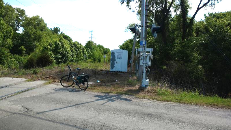
At Lake Drive near Pontoon Beach the trail dead ended. Turing left we immediately crossed a parallel abandoned RR. On the other side of the tracks, the trail picked up again. We paralleled the abandoned line for a while until it eventually swung off to the right along with the Nickel Plate Trail.
After passing the junction with the Nickel Plate Trail and looping out of our way around and under I255, we came to another dead end, this one caused by I 270.
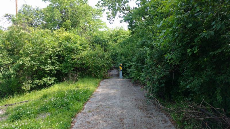
After turning left on Sand Road, we crossed I 270 and reached this interesting trail head at Chain of Rocks road.
After turning right onto the trail along Chain of Rocks Road, we soon swung to the left back onto the rail trail.
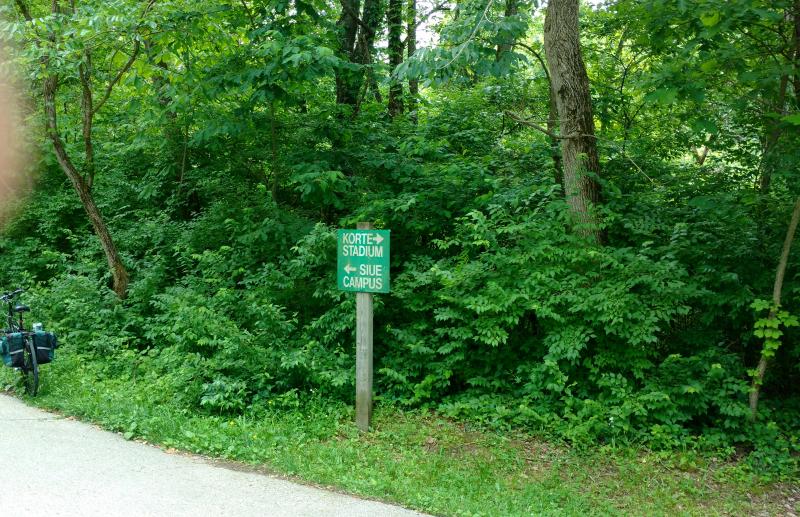
We turned left on to the Bluffs Trail along Stadium Drive and then right on the Delyte Morris Trail through the SIUE campus to New Poag Road. Turning right brought us back to downtown Edwardsville and the Nickel Plate Trail parking lot.
Checking directions at the junction of the Bluff and Delyte Morris Trails
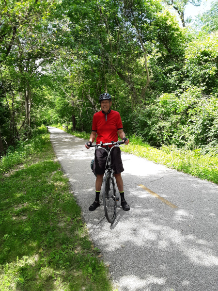
Comming up the Delyte Morris Trail towards the campus
As we approached the SIUE campus, we found a nice picnic table along the Delyte Morris Trail for lunch
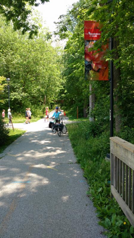
Passing through the scenic middle of the SIUE campus. Since we were in a cut (trench) along an abandoned rail line, we couldn't see much except decorative banners and trails leading to campus buildings.
We turned right off the Delyte Morris Trail onto New Poag Road, which morphs into St. Louis Street and then Vandalia Street on the way back to downtown Edwardsville and the parking lot.
First Previous Next Last