50TH HIGH SCHOOL REUNION
Azalea Trail
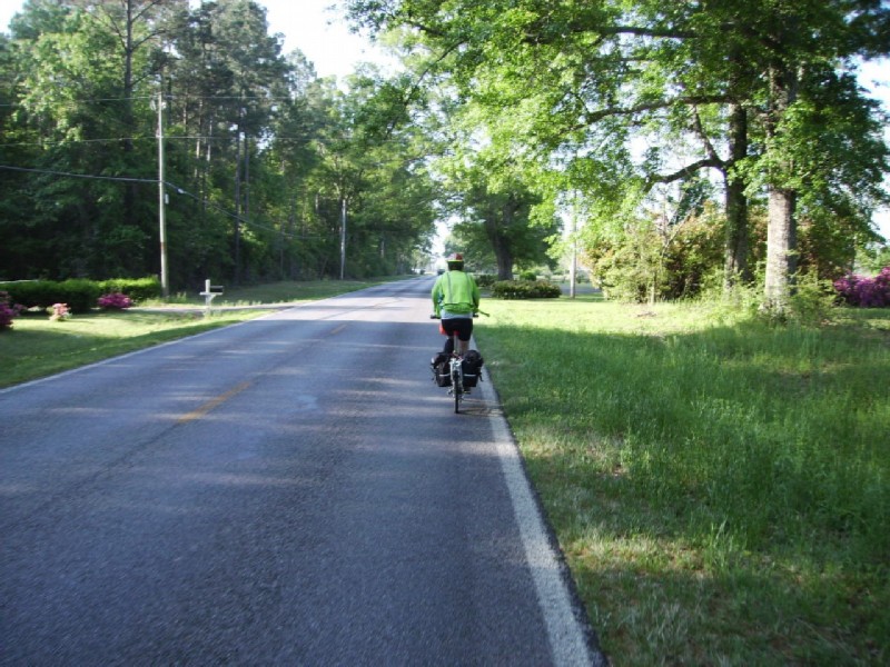
*** Brookhaven to Monticello - 20 miles, weather sunny and warm, lodging Liberty Inn ($50).
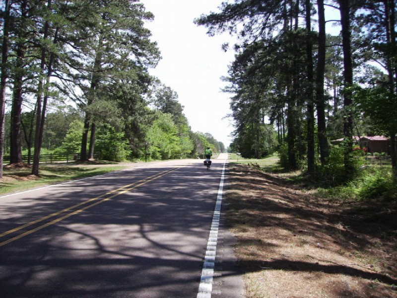
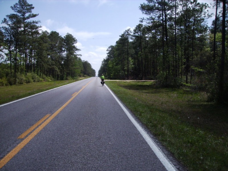
We headed east out of Brookhaven on Old US 84, a secondary state road for 5 miles, where we would pickup US 84 for the rest of the way to Monticello. Brookhaven was quickly left behind because I55 with its usual sprawl was located on the west side of town. The lack of traffic in this picture was somewhat deceptive in that we began to encounter logging trucks; and we were glad to turn onto the 4 lane 84 with a one foot shoulder.
I couldn't help snapping a picture at this early stage of a magnolia, the Mississippi state tree, and long leaf pines, a common sight over much of our trip.
No need to ride on the shoulder on the 4-lane US 84. Unfortunately, about half way to Monticello, a rumble strip began covering the white line and shoulder.
It was somewhere along here we found a shady spot and a log to sit on to have lunch. The burgers from the dining car hit the spot.
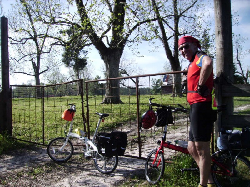
The Liberty Inn was quite new; and the room was large and very nice, complete with microwave oven and fridge. No breakfast. Only complaint - a common one - was that it was located about 1 mile outside of town.
Attended Saturday evening Mass at a Catholic Church located in a small house in a residential area. We increased the size of the congregation to 9
Purchased catfish, fries, and double cold slaw (in lieu of hush puppies) at Catfish One, a small chain where you order from a trailer and eat at outdoor picnic tables. We got ours to go since it was getting dark and we had a mile to ride back to the motel
*** Monticello to Bassfield - 29 miles, weather sunny and warm, lodging Four-K stables ($40)
The main street in Monticello. I was surprised to see that small towns in Mississippi seemed to have fared better than similar size towns in the Midwest - less of that abandoned look.
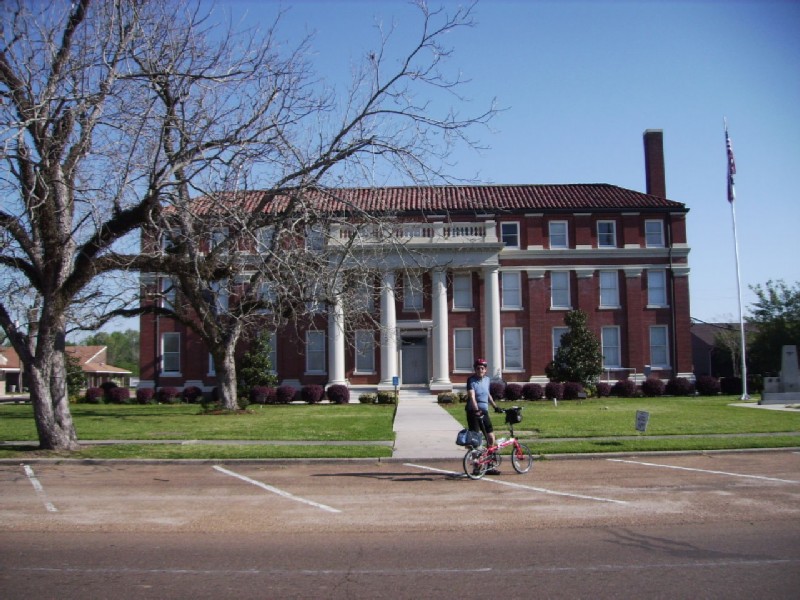
Lincoln County courthouse in Monticello
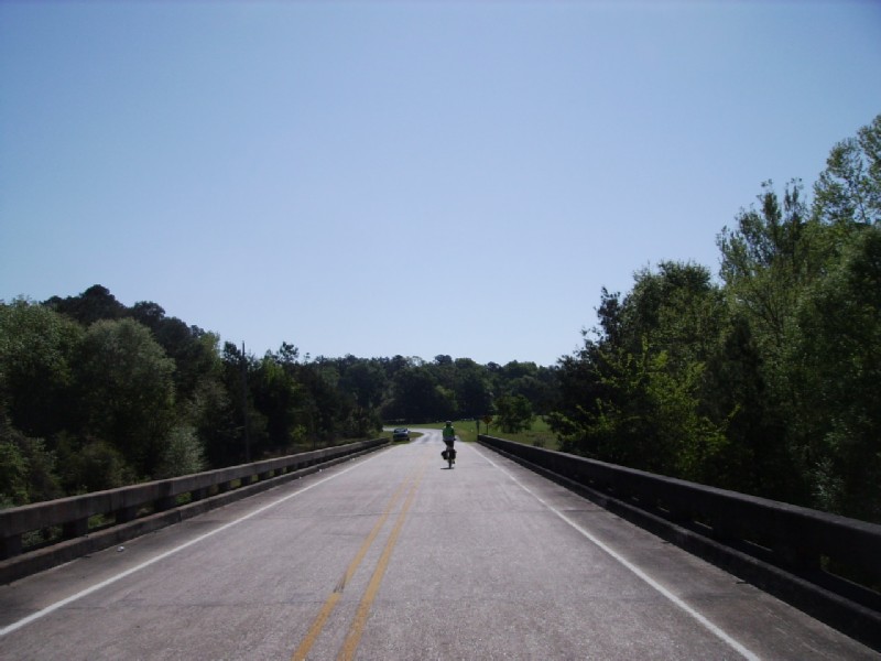
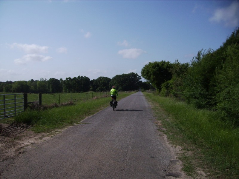
Crossing the Pearl River just east of Monticello. We opted to take back roads between Monticello and Prentiss rather than getting back on to US 84. It was just after this point that I was reminded that Mississippi is not flat. The modern cut and fill of US 84 had camouflaged the hills.
It was just before the bridge that Jeanine found a wallet on the road, which we later turned into the police at Prentiss.
The western end of the Longleaf Trace. Around noon on a beautiful Sunday we were surprised to see only one car parked at the gateway. In fact we saw only one cyclist until we got to Bassfied.
Gazebo at the western gateway in Prentiss. We had a picnic lunch here.
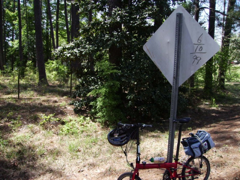
The champaign of bike trails. Mile 0 (or 41, depending on your viewpoint) of the Longleaf Trace.
Longleaf Trace between Prentiss and Carson.
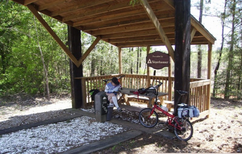
Typical shelter on the Longleaf Trace - between Carson and Bassfield.
Four-K stables, Bassfield. The rest room and shower was in this building. The "bunk house" was the building to the left. The rocking chairs are for the spit & whittle crowd.
In front of the bunk house at the Four-K stables. It was a large bedroom with a double and two twin beds.
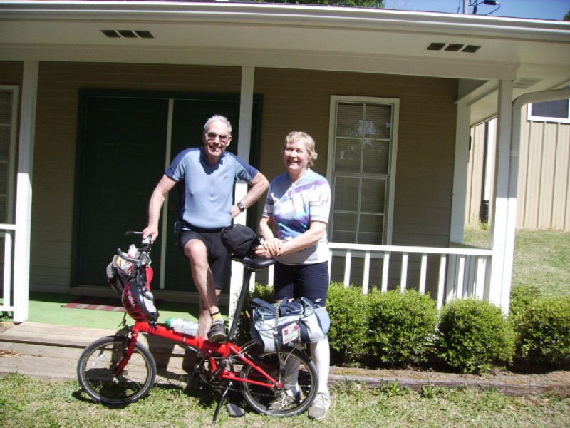
This was the most enjoyable stop of the whole trip - partly due to the hospitality of the owners, Johnny and Judith Kerley and partly due the peaceful surroundings. It was a nice contrast to the typical roadside/freeway location.
*** Bassfield to south of Hattiesburg - 43 miles, weather sunny and warm, Lodging Dru's Inn ($55).
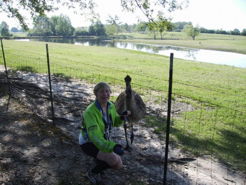
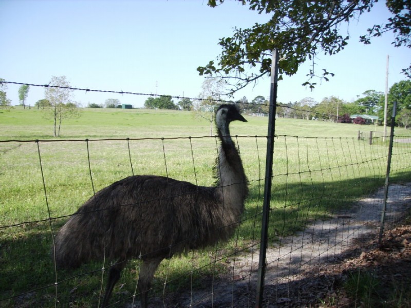
Looking for a handout at a rest stop between Bassfield and Sumrall. Llamas in the background.
Not bashful at all.
It was time for breakfast when we reached Sumrall. But the restaurants did not open that early. However, a lady at a convenience store offered to make pancakes, my favorite bike ride breakfast. One of the few disappointments on the tour was the almost total absence small town spit & whittle cafes, the kind where the farmers and old timers come in for coffee and philosophical discussion. Gas stations seemed to be filling the gap.
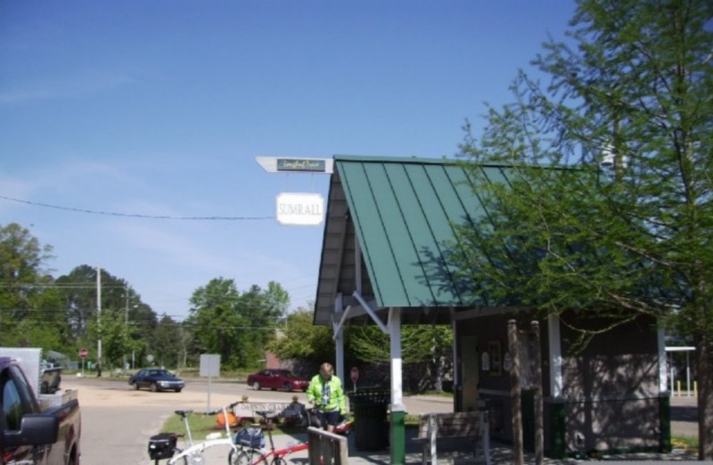
Trail head in Sumrall. From here on in to the Hattiesburg trail head, we began to see more cyclist and walkers.
Typical scene along the Trace between Sumrall and Eply.
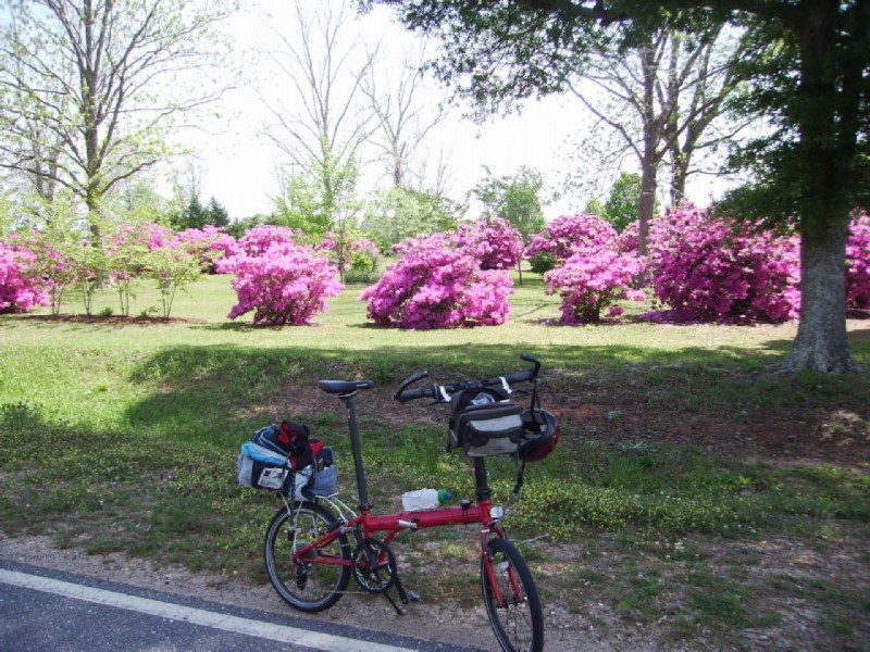
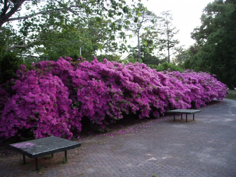
From my 50 year old recollection of azaleas in Mobile, I thought they bloomed from late February to early March. I figured that their blooming this late was due to our being north of Mobile. But when I reached Mobile, they were still in bloom. Apparently an earlier cold spell delayed their coming out.
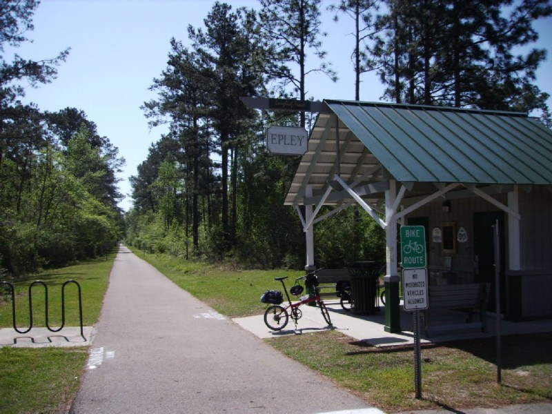
Trail head at Eply
The original plan was to take a cab from the eastern end of the Trace near the U. of Southern Mississippi in Hattiesburg to Dru's Inn south of the city because the only bike friendly route south of town (avoiding US 49) would make for a very long day. However, when we reached the trail head by noon, I decided to go for it. At first we were on city streets and then US 49 with a shoulder. But when the shoulder disappeared south of the US 98 interchange, it was no longer fun.
Soon we pulled off for lunch at Rose's Bar-B-Q located in a gas station and had the best bar-b-q beef sandwich I've had in a long time. A lady with a pickup offered to take us to our destination; but a closer look at a map showed a country road that would get us where we wanted to go with only 3 bonus miles. So I declined but suggested that Jeanine go with her, but she opted to go with me.
Dru's Inn turned out to be nice with only one problem. All rooms were smoking. I had forgot to check that important detail. But we survived.
A man we ran into a Rose's who was concerned about us riding US 49 showed up to check that we had made it safely. He also offered to drive us to a grocery store if necessary. The two restaurants at the intersection were not open for supper; so we contented ourselves with Subway and made plans to get take out breakfast the next morning.
*** South of Hattiesburg to Wiggins - 28 miles, weather sunny and warm, lodging Western Motel ($50).
During the he first 0.8 miles we encountered a lot a rush hour traffic heading into Camp Shelby, an Army post. Soon a gate with concrete barriers, guards, and a sign requiring ID appeared. But at the last minute our country road to the south veered off to the right.
Old US 49 just south of the Camp Shelby gate. We would be riding through the DeSoto National Forest much of the day.
Breakfast stop with sandwiches from Subway.
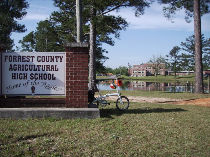
More azaleas on the agricultural HS campus.
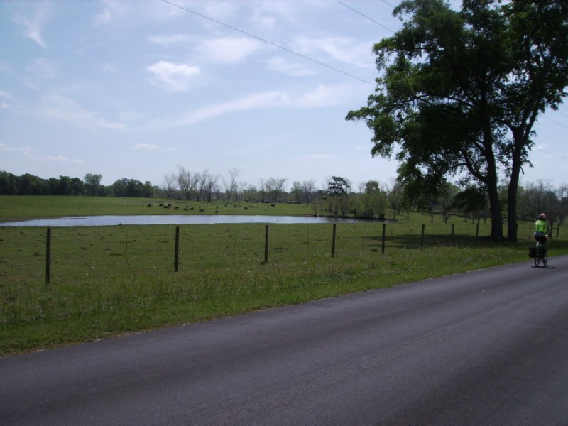
Typical agricultural scene in southern Mississippi - between Brooklyn and Wiggins.
A few miles north of Wiggins Old 49 finally merged with new 49. Soon we pulled off 49 onto a road into Wiggins, which added a few miles since the motels were on 49 west of it. It was early and I wanted to see the town and take care of some business at the library.
A very nice town. Unfortunately, the motels were several miles west of downtown on US 49.
The Western Motel was one of a chain found all over southern Mississippi. The room was nice, although not as large as most of the others we patronized; and the staff was very accommodating.
*** Wiggins to Lucedale - 41 miles, weather sunny and warm, lodging Western Motel ($42).
As far as I can tell, Mississippi has the best network of country roads in the country. If a road isn't paved, you can pretty much assume it is a private drive. But due to the many rivers that flow into the Gulf, there are almost no east-west roads across the state north of I10 along the coast and south of Wiggins. The only route to Lucedale was MS 26 a 2-lane highway without shoulders. I didn't like the looks of 26 heading into Wiggins at rush hour. So I opted to find another street into Wiggins and then kept going east out of town. After winding around for a while, we ran into 26 about 8 miles out of town, adding about 3 miles to the day's ride.
No sooner did we leave the motel than Jeanine had a flat in the rear tire. For some reason, I patched the tube instead of using the spare I carry. We got only as far as town before the flat reappeared. This time I had a nice bench in front of the Whistle Stop Cafe to sit on, and was able to check the tire thoroughly. I found a tiny piece of wire embedded in the tire and used the good spare this time after removing the wire. No more flats.
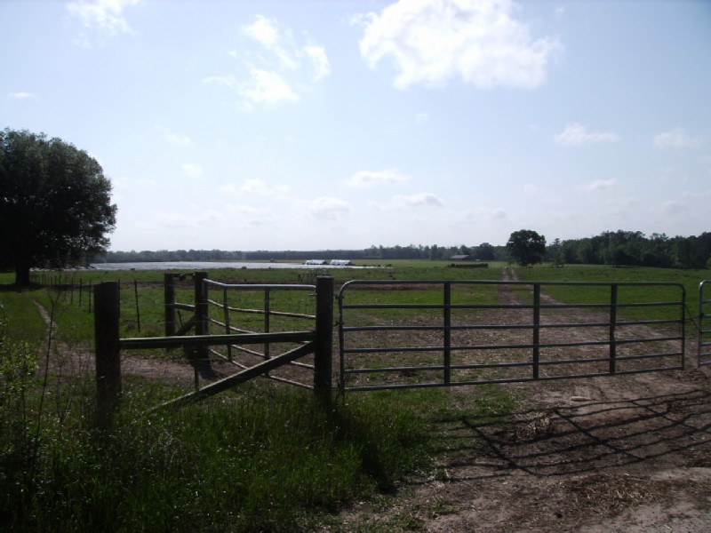
Rest stop at an attractive farm on the country road east of Wiggins.
MS 26 between Wiggins and Benndale. Fortunately, there was not too much traffic.
This was our only difficult day. Maybe it was the two flats early on, or the hills, or mile after mile on the same highway with nothing but woods. We were tired and hungry after 24 miles when we finally sighted a gas station/convenience store at a highway junction called Benndale. The catfish and chips, as well as the tables and air conditioning revived us.
Long bridge across the Pascagoula River and adjacent swamp just east of Benndale.
About 10 miles west of Lucedale homes and non-descript businesses and traffic began to appear. What I remember as a small town had expanded a mini version of urban sprawl.
Jeanine was out ahead as we entered Lucedale and passed the turn-off to the Western Motel, mainly because I had forgot to tell her about it. So we decided to proceed to a mom & pop motel in the center of town via a typical two lane country road, now a traffic choked artery. Although the motel wasn't bad, it failed Jeanine's bed pad test. So we headed back to the Western, this time on more bike friendly city streets, adding another 3 miles the day's ride. The Western turned out to be almost new and very nice.
*** Lucedale to Mobile - 35 miles, weather sunny and warm, lodging La Quinta Inn ($32 avg)
The final day of ride to Mobile utilized so many country roads that the cue sheet courtesy of Google Maps was almost a necessity. It was also the first day that I would not characterize as hilly.
Heading south out of Lucedale
Mississippi Export Railroad backwoods rail yard south of Lucedale
Another country road south of Lucedale.
Another attractive farm.
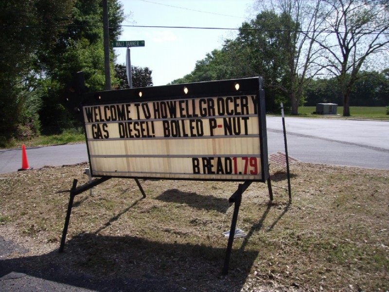
Country store in Howell, a small cross roads community. One of only two stops between Lucedale and the outskirts of Mobile.
One of these years I've got to try boiled peanuts.
Jeanine spotted an "eggs for sale" sign and asked the lady of the house if she would soft boil them for her. She agreed and invited us in for ice tea.
Turns out she was a relative of E.O. Wilson the famous Harvard entomologist; and she was about to leave for a book signing of Anthill, a novel set in Mobile, that he had written. The name rang a bell; and I asked her if he wasn't also know for some controversy. She only said that he had gotten involved in something to do with the environment in his later years. A quick internet search reminded me that he was also the inventor of the field of sociobiology and came down harder on the nature side of the nature-nurture question than is politically correct.
Eggs were just a sideline. Her main crop was blueberries, shown in the background. I had no idea they grew south of Wisconsin and New England.
Crossing the Big Creek Lake damn. The damn was build while I was in high school creating a lake that became Mobile's water supply.
Nearing the Mobile Airport
Jeanine did not like the looks of the last two miles into the Airport; so she waited at a shopping center while I continued on to pick up the rental car. She should have looked closer, because I was able to ride the whole way on a newly constructed lane that had not yet been opened to automobiles.
I discovered on the Internet that the rate for the La Quinta hotel in Mobile averaged $32/day for the 3 days I would be in Mobile. Following the old adage "If it's too good to be true, it probably is", I assumed it was a computer glitch or there was something very wrong about the hotel. Then I discovered a lot of horrible reviews. But following my dictum that if I believed everything I see on the Internet, I wouldn't get out of bed in the morning, I took a chance. To make a long story short, it turned out to be one of the better places I have ever stayed at.
First Previous Next Last