50TH HIGH SCHOOL REUNION
Trail of Destruction
At the time I picked up the rental car at the airport, I asked a cab driver about a ride to the Mississippi state line early Sunday when we would be starting our return trip. He quoted me a fare and said he could do it. He gave me his business card and asked me to call if my plans changed. Sure enough, he was there Sunday morning and took us to a point about 6 miles north of I10.
The return trip was guaranteed to be flat, unlike Brookhaven to Mobile. The only "hills" would be on the high bridges. Whether the wind would help us by continuing to blow from the southeast was questionable.
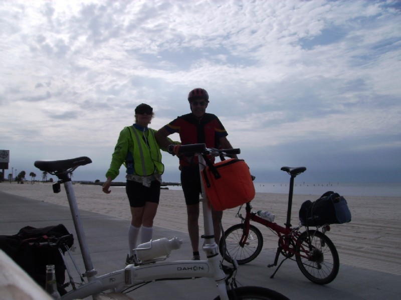
*** AL-MS state line to Biloxi - 35 miles, weather sunny and warm, few rain drops in evening, lodging Palace Casino Hotel ($59)
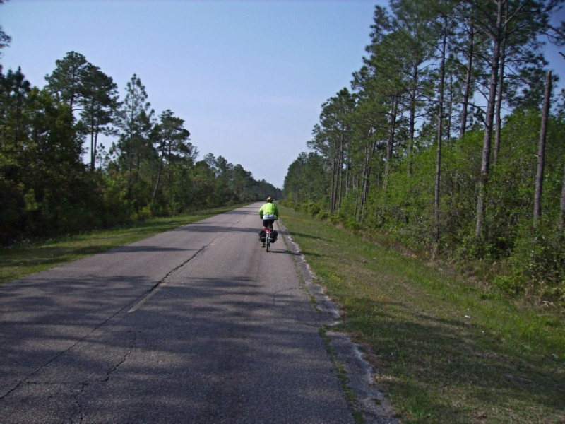
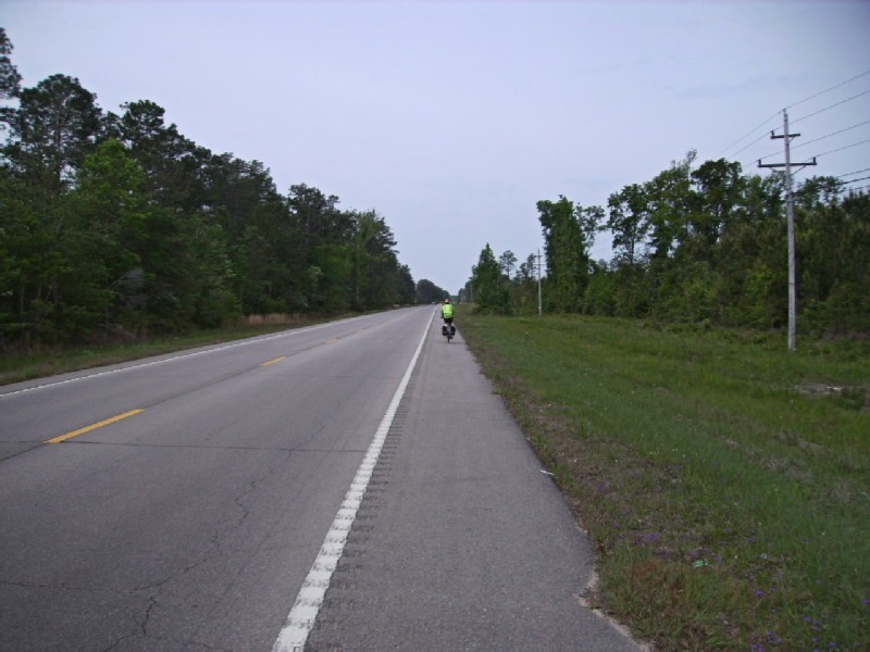
From our drop off point to US 90 was about 9 miles; and we once again made use of the excellent Mississippi country roads.
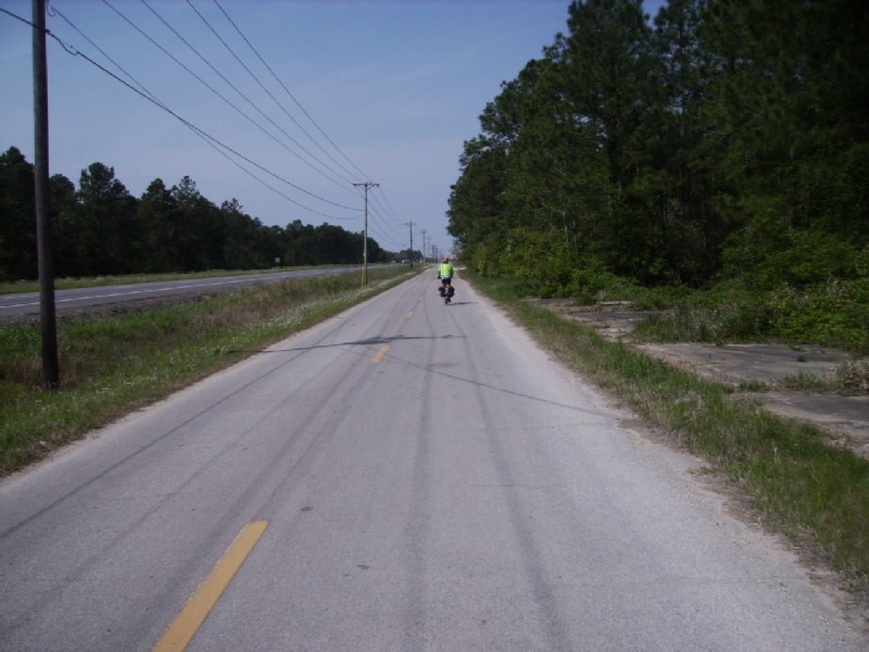
From Orange Grove just west of the state line to Waveland west of Bay St. Louis was one big megalopolis. But service roads like the one shown and a wide shoulder along US 90 got us easily through Pascagoula.
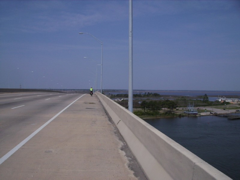
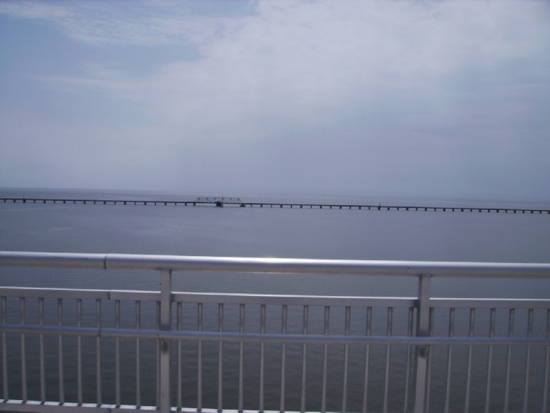
The very high Pascagoula River bridge, the first of several long bridges between Pascagoula and Bay St. Louis. The bridge had 8 lanes plus a very wide shoulder.
On the causeway between the Pascagoula River and Singing River. We're down to 6 lanes but the wide shoulder remains.
Still on the causeway. The rail line of the ill-fated Sunset Limited - East is in the background
The much lower bridge over the Singing River.
From Gautier on the west bank of the Singing River, we switched to a side road that took us the 14 miles to Ocean Springs. It ranged from rural to sprawl; but there were no services and boring. We may have done just as well staying on US90 with its shoulder and periodic service roads.
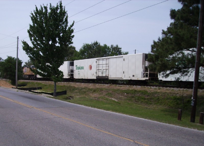
Tropicana Orange Juice train between Gautier and Ocean Springs
On the outskirts of Ocean Springs we finally came across a place to stop - an ice cream store. The Italian ice sure hit the spot.
We got to talking with the proprietor who recommended we use the sidewalk along the beach between Biloxi and Pass Christian. He also suggested we walk part of the long bridge across St. Louis Bay because it was so steep. The first bit of advice turned out to be very useful; but the second was totally inaccurate.
The third long bridge, this a high one over Biloxi bay, looking toward the Gulf.
The beaten up barrier island in the background was our first sighting of destruction caused by Hurricane Katrina 5 years before. We had mentioned to the ice cream guy that we had seen no evidence of Katrina up to that point. He said that was because we were too far from the Gulf. Closer to it there was considerable damage east of Biloxi Bay.
Looking back to Ocean Springs from the Biloxi Bay bridge. Too bad it takes something like Katrina to get such a nice bike path. The former bridge destroyed by Katrina had two narrow lanes with no shoulder.
About the only thing left in Biloxi was the casinos. We chose the Palace Casino Hotel because of the $59 rate, and just wheeled our bikes past the slots to the elevator.
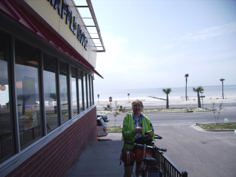
The same could be said for eating establishments. Surprisingly, the usual franchises had not reappeared on Beach Blvd. The lone exception seemed to be Waffle House - a southern thing. I highly recommend the chili-topped hash browns.
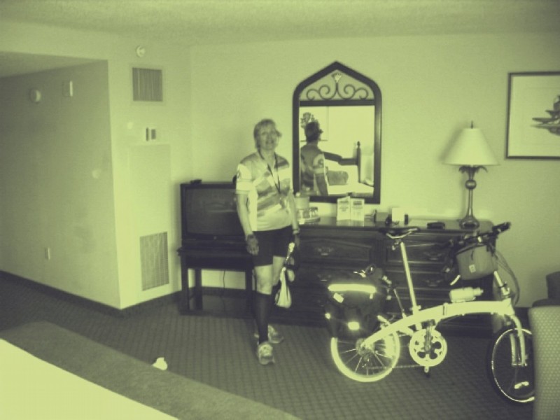
The Palace was the highest class hotel room I had been in in a long time.
View from our room at the Palace towards the Gulf.
*** Biloxi to Bay St. Louis - 32 miles, weather cloudy early, sunny and warm by 9:00AM, lodging Economy Inn ($40)
We headed west from the Palace Casino to downtown Biloxi less than a mile away on a former city street about 3 blocks from the Gulf. It was here we began to see the extent of the destruction. All along the coast from Biloxi to Clermont Harbor west of Bay St. Louis, there was not much left other than casinos within 4-5 blocks of the Gulf. The exception was the downtowns - Biloxi, Gulfport, Pass Christian, and Bay St. Louis. I don't know if it was because downtown buildings were constructed better or rebuilt quicker.
Between the Palace Hotel and downtown Biloxi about 4 blocks from the Gulf.
No, it's not country side, but a few blocks from downtown Biloxi.
I had recalled from my previous Mobile - NO ride that Beach Blvd (US 90) from Biloxi to Pass Christian was a narrow 4-lane road with heavy traffic and no shoulder. So my planned route called for staying inland as much as possible, with only a short segment along the beach a few miles west of Biloxi.
When we reached Beach Blvd we noticed the wide sidewalk on the Gulf side (that the ice cream man had predicted). It appeared to have come all the way from Biloxi; and that we should have used it from the start. It helped that the path was on the Gulf side since there weren't streets crossing it every block. It made for a scenic and easy ride.
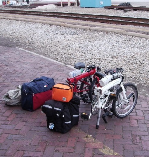
The big orange balloon hanging from the MuP8's handle bars is an optical illusion. It's actually a small cooler about the size of a small handle bar pack. It seemed to keep drinks cold all day.
Beauvoir - Jefferson Davis's home between Biloxi and Gulfport
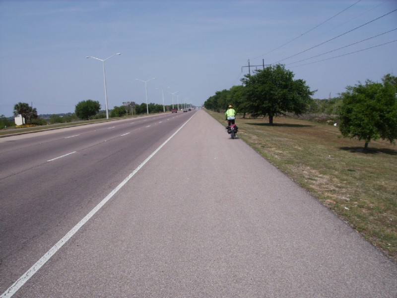
Approaching Gulfport.
Waffle House comes to the rescue again at lunch time just west of downtown Gulfport.
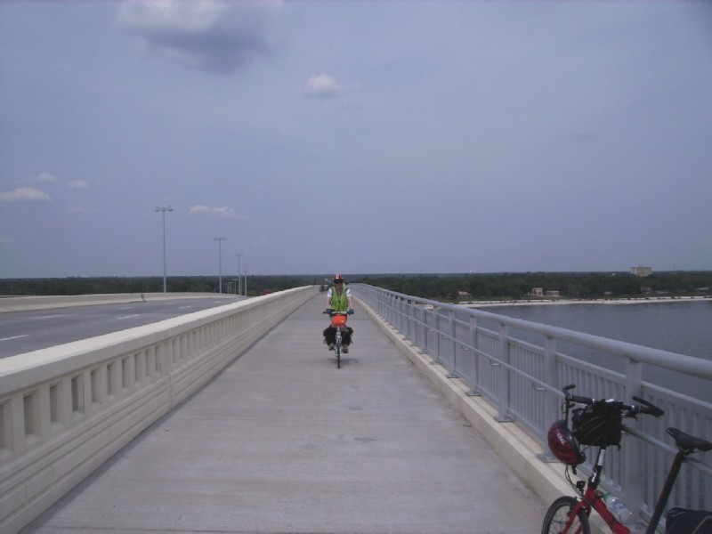
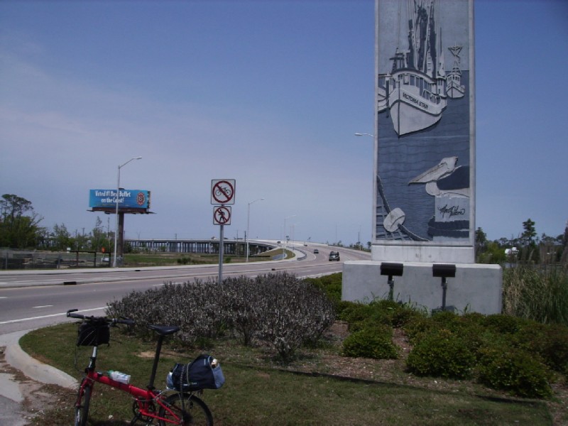
Approach to the 2.1 mile long bridge between Pass Christian and Bay St. Louis. The ice cream man had been wrong: it was not high at all. The no bicycle sign scared me for a moment until I realized that the bicycle path was on the opposite side.
Looking towards Bay St. Louis.
Rebuilt RR bridge in the background. I can remember when it had wooden pilings that had been replaced with concrete after an earlier hurricane. The concrete was not able to stand up to Katrina.
*** Bay St. Louis to Slidell - 32 miles, weather overcast and cool early, sunny and warm by 10:00AM, lodging Regency Inn ($49)
We started out going as far as possible on city streets through Bay St. Louis, Waveland, Clermont Harbor before returning to US 90. As before everything looked normal until you got 4-5 blocks from the Gulf. Then empty lots.
One of the many bayous emptying into the Gulf west of Bay St. Louis
Another Mississippi back road near Buccaneer State Park.
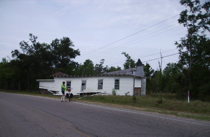
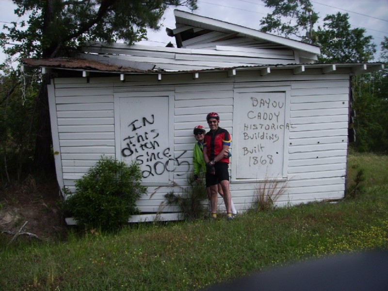
Something just didn't look right about this church between Clermont Harbor and US 90.
Mystery solved.
Near US 90. Right about here was a several mile stretch of hard packed dirt road. The only time Google Maps failed.
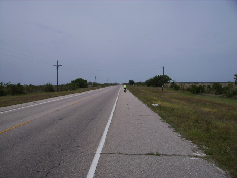
Back on 90 with a shoulder and little traffic.
On of those really nice places to stop, but the timing was wrong. Too late for breakfast and too early for lunch.
The timing didn't stop us from taking a rest.
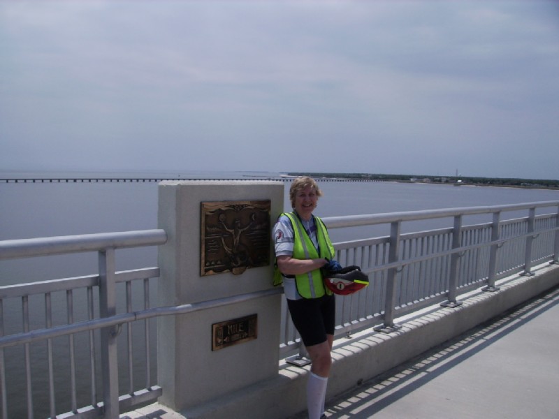
We've crossed the border into Louisiana and fortunately the shoulder hasn't disappeared.
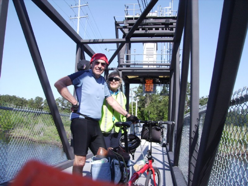
Crossing one of the may bayous in the 4 miles between the LA state line and the US 190 turn-off toward Slidell. The shoulder disappeared on the bridges; so we waited until there was no traffic and made a run for it.
At the US 190 turn-off, 90 lost its shoulder; but 190 kept it until the outskirts of Slidell where it turns to the North. We followed it for 0.4 miles and then turned into a quiet subdivision and city streets until we came across the exceptionally nice Regency Motel at the intersection of 190 and I 10.
190 heading west (our direction) was as bicycle unfriendly as you can imagine. It must have been a two lane road until becoming saturated with the usual road town franchises until it was four laned. But by this time there was no room for a shoulder or even a dirt strip between the road and the ditch along side the road. After much searching I found a way using service roads, shopping centers, and business parking lots to get within a few feet of a residential street heading west. At least we could walk to the interesting Big Easy Diner for supper.
*** Slidell to Covington - 33 miles, weather sunny and warm, lodging Green Springs Motel ($45)
After finding the residential street heading west, we had peace and quiet for about a mile until we started passing elementary schools where the traffic became fierce (gotta teach the kiddies to suck up to the pump at an early age).

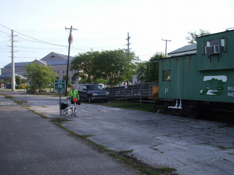
I took a respite from the morning rush hour traffic to catch the northbound Crescent Limited #20 heading to NY just after it departed the Slidell station
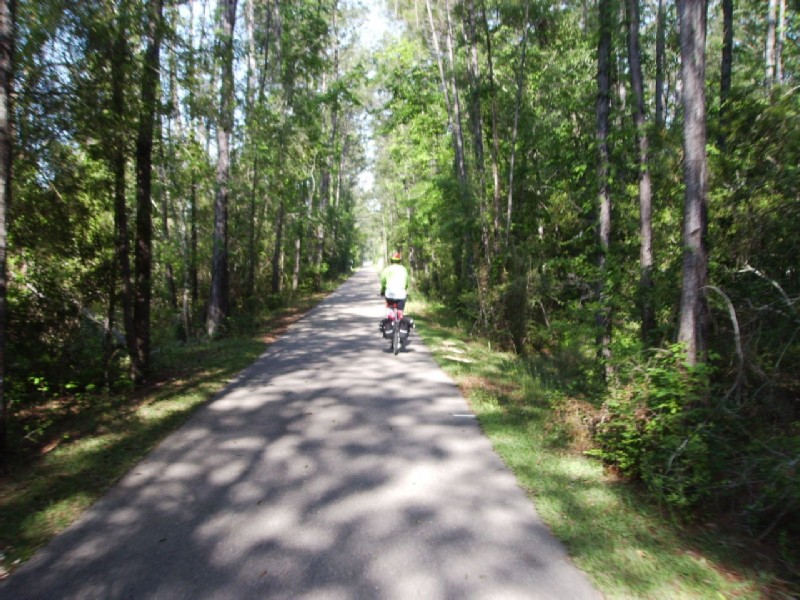
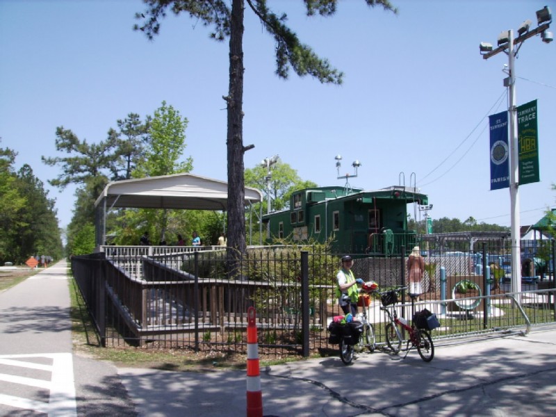
The eastern gateway to Tammany Trace, a 30 mile long rails-to-trails conversion between the outskirts of Slidell to downtown Covington, began about 4.5 miles west of downtown Slidell. My plan was to take city streets as far as possible to avoid 190. But I had lost the cue sheet and wound up going around in circles in a subdivision. But when we finally got out of the maze, we were only 1.5 miles from the Trace.
The Tammany Trace was a god-send, not only because it is an outstanding trail in its own right, but because we could ride from Slidell and Covington oblivious to the horrible megalopolis north of Lake Ponchartrain. Egged on by I10 to Slidell, I 55 to Hammond, and the bridge over the center of the lake to Mandeville, every one in New Orleans seems to have moved to the north shore. But the infrastructure is still small town - rural. I couldn't understand why, if they like traffic jams so much, they didn't just move to LA and be done with it.
The Trace likes to "do-up" its trail heads. This one, at Thompson Road near the eastern end, has a boardwalk that provide a nice view of one of the many bayous flowing under the Tammany Trace. .
West of the Thompson gateway. For some reason the pine trees were lined close to the trail, between it and the ditch. RR right-of-ways are usually much wider.
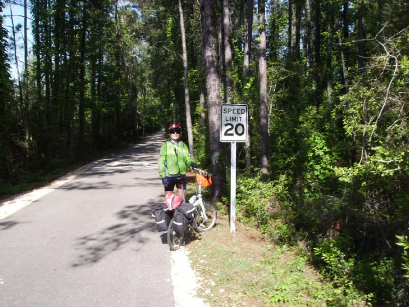
I had to make sure Jeanine was aware of the speed limit.
The lift bridge over the Lacombe Bayou.
At he Mandeville trail head we decided to detour the half mile to the Pontchartrain lake front - a wise choice. The older part of town was fascinating; and there were several restaurants with a scenic view over the water.
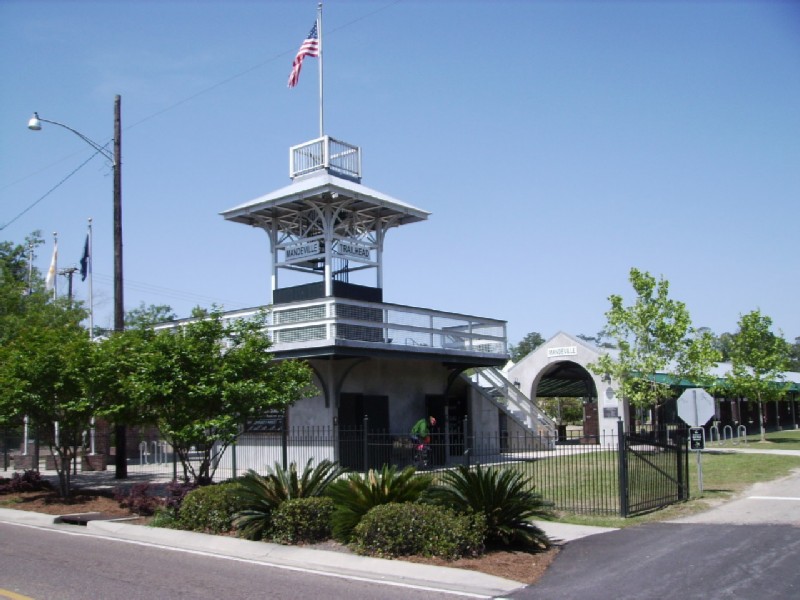
The Mandeville trail head.
Ante-bellum home in Mandeville
Another old Mandeville home, this one facing the lake front.
Mandeville church
Mandeville lake front
Trace headquarters between Mandeville and Abita Springs.
We met a couple wearing helmets; and I broke the ice by saying "It looks like helmets aren't illegal, after all". They didn't get the joke because they weren't locals. Their hobby is to ride bike trails. They had just done the Longleaf Trace and were heading to Florida for more. They had been on every trail I had been on, or could think of.
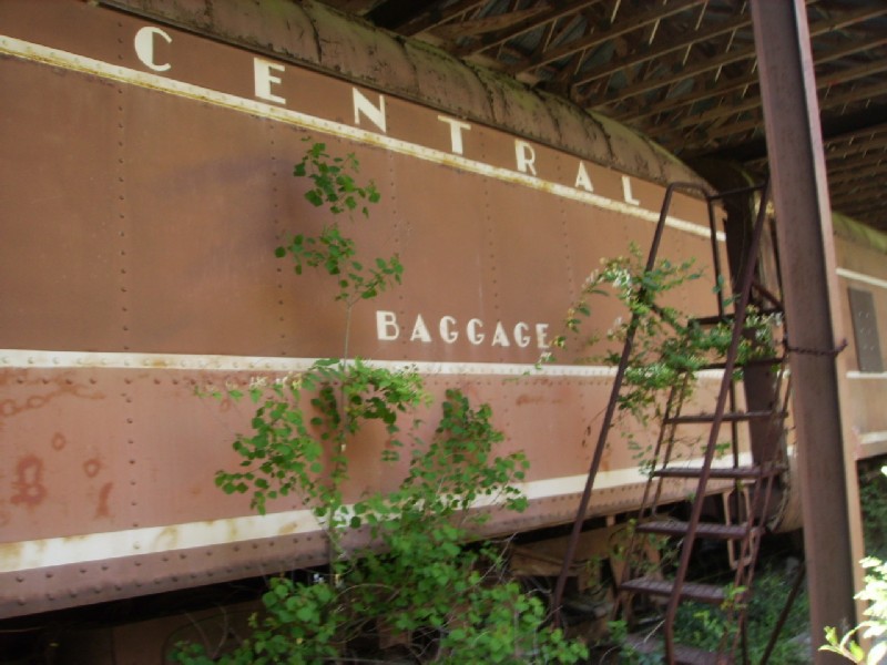
South of Abita Springs I came across a couple of passenger cars rusting away under an open shed - a Pullman car in Illinois Central colors and an Illinois Central baggage car.
The City of New Orleans could have used a baggage car.
The Pullman
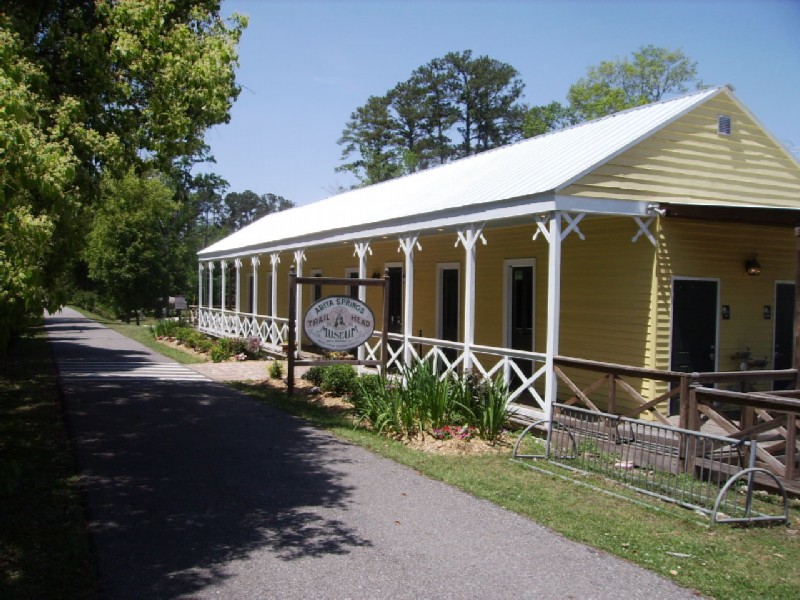
Trail head and museum in Abita Springs. A few year ago I had driven through Abita Springs. It had a cute little center surrounded by miles of sprawl. The beauty of the Tammany Trace is that we sailed in and out of the center of town through what, for all I could tell, were woods.
A mile or so before the end of the trail in Covington, we peeled off to find the Green Springs Motel, an older, but nice mom & pop on LA 21 just NE of town.
After resting up, I rode towards town to scout for supper and the trail, which takes you to the end in downtown Covington. My Google maps cue sheet said to take LA 21 0.8 miles and bear right onto the trail. But after 0.8 miles I came to a major intersection and the usual franchise road town, again with horrible traffic and no shoulder. It took 4 passes, but I finally spotted a characteristic Tammany Trace rest stop around a corner; and sure enough the trail was just where Google said it would be.
*** Slidell to Covington - 25 miles, weather sunny, warm, and humid, lodging City of New Orleans roomette
Neither of us were looking forward to today, not just because it meant the end of the tour. We would have to ride almost 20 miles on the 2-lane US 190, 11.5 miles of it without a shoulder. Again, I planned to use city streets to get as far out as possible before getting on 190. This time I didn't lose the cue sheet and all went well.

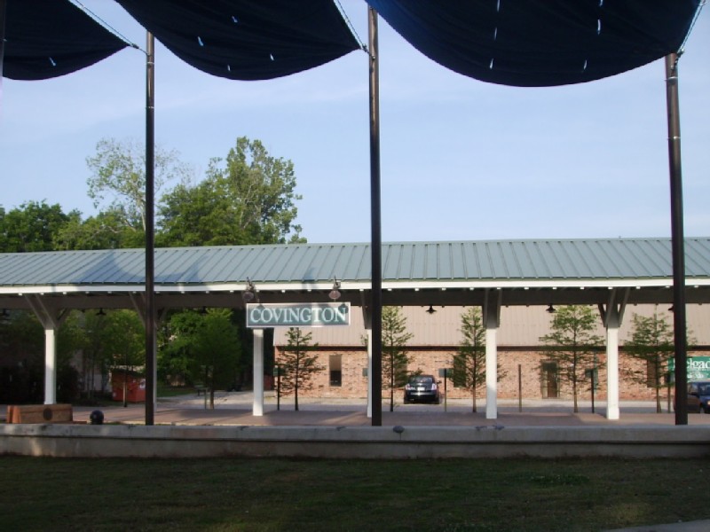
Heading into downtown Covington and the end of the Trace. The amazing thing is if the picture had been taken in the opposite direction, you would see the road town and ugly traffic jams.
THE END
Covington trail head.
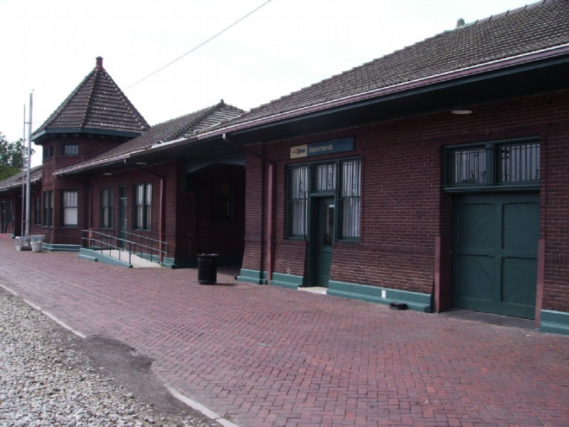
We survived US 190 and made it to Hammond with 4 hours to spare for the 2:45PM departure. Amtrak occupied about a third of the very large former IC station. After having our tickets printed, the agent kindly let us store our stuff inside the office while we explored downtown Hammond and had lunch and took care of business at the library.
The train was about 40 minutes late - a bad ordered coach had to be swapped out before even leaving New Orleans. By Memphis, the deficit had been make up; but fortunately about 3AM between Carbondale and Centralia, a severe storm knocked out power to the signals and caused a 90 minute delay. I say fortunately, because we were able to enjoy a leisurely breakfast in the dining car rather than have to stagger off the train in Champaign at 6:10AM.
First Previous Next Last