GREAT ALLEGHENY PASSAGE AND C&O CANAL
2015 Trip Report
All previous GAP tours had celebrated major milestone in GAP history: in 2006 we were the first to pass through the Big Savage Tunnel the day it was formally opened. In 2010 two important sections, Woodcock Hollow to Cumberland and the Duquesne to McKeesport, including the Riverton Bridge, had recently been opened. In 2013 the Sandcastle gap had finally been closed. 2015 was no different: the Pinkerton Tunnel had been reopened and hell had finally frozen over - Amtrak instituted roll on - roll off bike service at all stations on the Capital Limited in late September.
Even though it was early October - late in the season, I had to try the new service. Jeanine would take her full sized Bianchi Strada while I went with my Dahon MuP8 folder.
Again, against all odds, the train was on time into Pittsburgh at 5:05AM. Being early October, we had to wait a while in the station until dawn. Maybe it was the hour, but coming out of the station I continued straight on Liberty Street instead of making a slight left onto Grant Street towards the Eliza Furnace Trail. We became more or less lost as we approached the Point. But after riding several sidewalks, we finally found the trail.
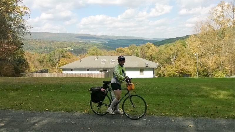
Shortly after leaving the Waterfront shopping area in Homestead, the trail climbs over the RR tracks and runs along the bluff. Here we are looking back towards the Rankin Bridge.
Along the bluff looking down on the Braddock Locks and Dam with the still functioning steel mill across the river in Braddock.
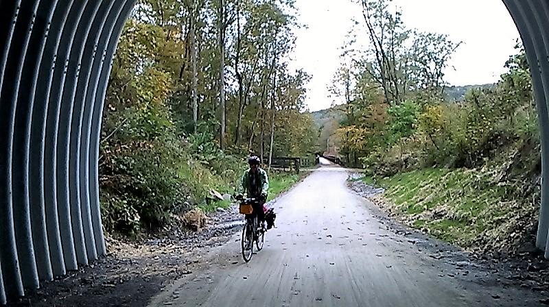
After McKeesport we leave the post industrial museum behind.
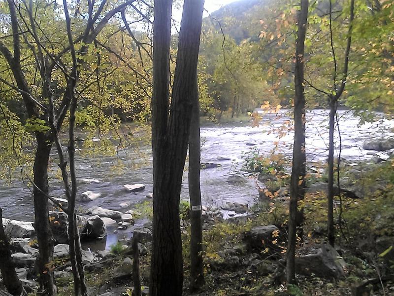
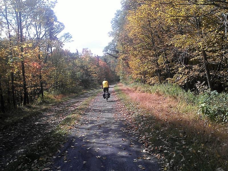
Another view of the Youghiogheny between Boston and Connellsville.
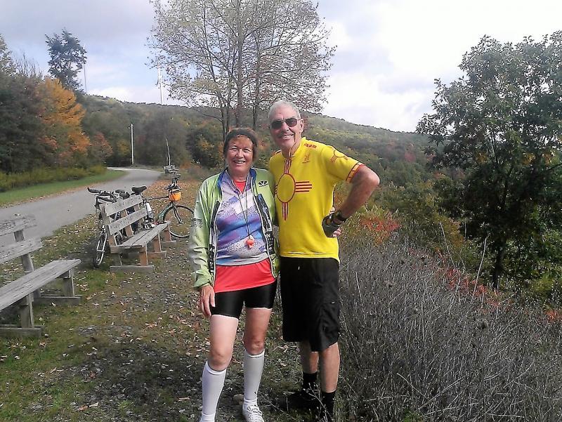
For the second time I selected the John Butler House B&B for our first overnight. It sits along side a golf course about a mile up hill from the trail at Buena Vista. The house is very nice; and we enjoyed the golf course restaurant both for supper and the included breakfast. The best feature is that the house is located close to a snack bar on the course that sells beer, beer being a problem in Pennsylvania. The only negative is the mile long up hill from the trail. Jeanine says she won't stay there again unless we can get a ride up.
Again we stayed at the Melody Motor Lodge. No change here. Decent room, no amenities, in Walmart country, no beer nearby, up an easy hill on a major highway whose bike lane (shoulder) seems to get rougher every time.
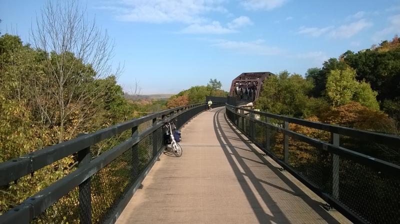
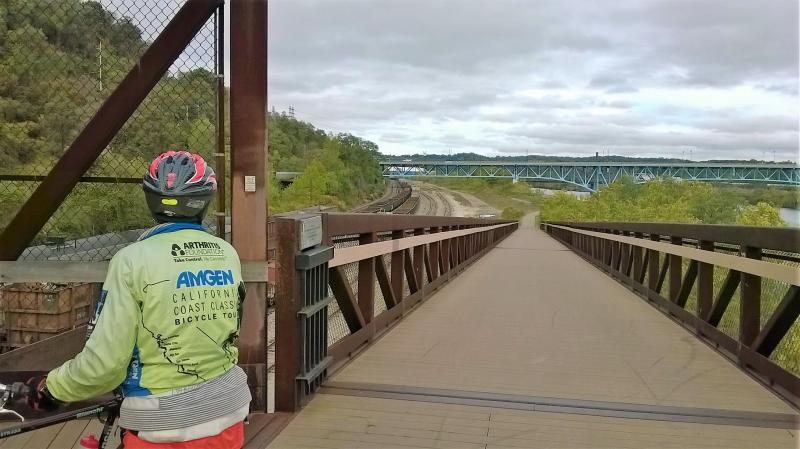
The first of two high bridges leaving Connellsville
My turn on the 2nd Connellsville bridge
The rock - our favorite resting spot between Connellsville and Ohiopyle.
A better view of the Yough from the Rock.
The Melody Motor Lodge in Connellsville does not serve breakfast, and we did not bother to stop at the very nice Valley Dairy restaurant in downtown; so we were getting weak by the time we reached Ohiopyle. We stopped at the Falls Market Restaurant & General Store next to the train station/visitor center and opted to order subs from the takeout window rather than the sit down restaurant. Being the only place open on a weekday that late in the season, it was quite crowded.
View of the river just past Ohiopyle
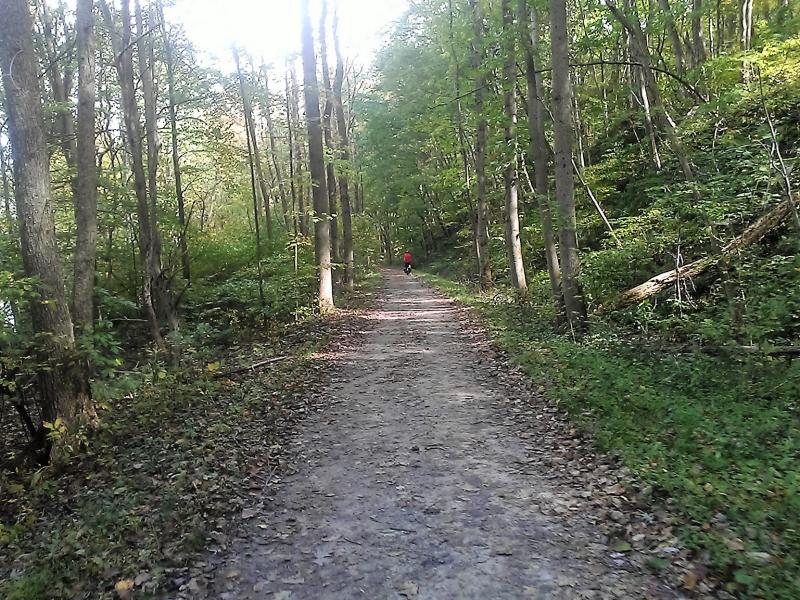
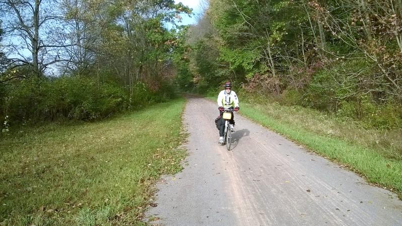
I gotten ahead of Jeanine somewhere between Ohiopyle and Confluence.
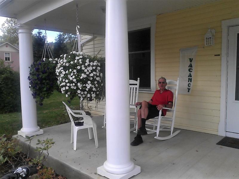
Resting on the front porch of the Parker House in Confluence
Our room at the Parker House. It is right across the street from the River's Edge Restaurant and B&B where we stayed in 2013. I rated the Parker House just a little better than the River's Edge, although the latter was nice also. We purchased something for breakfast at the nearby Confluence Foodmart because the Parker House doesn't serve breakfast. But it made up for that by having keurig coffee maker with a wide choice of coffees.
Leaving Confluence under the usual early morning haze
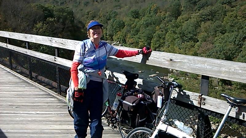
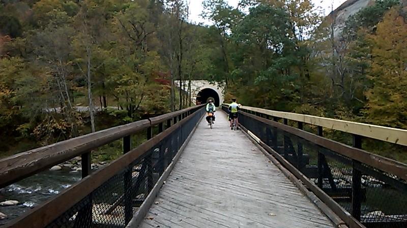
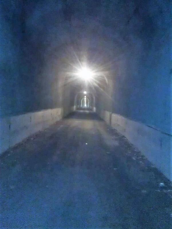
Today's highlight was the restored Pinkerton Tunnel. I had pretty much accepted the fact that it would never be passable again. But I was wrong. An interesting feature of the tunnel is that it is flanked by high bridges at both ends. I'm posing on the western approach to the tunnel.
The west portal
Jeanine entering the tunnel. The junction with the old bypass can be seen just before the bridge.
I had to pose for the momentous occasion
Exiting the east portal. The old bypass returns from the left just before the tunnel.
The results of the CSX daylighting project can be see just you leave the tunnel. The project cut the top off the adjacent RR tunnel to accommodate tall double-stack trains.
Resting near Rockwood
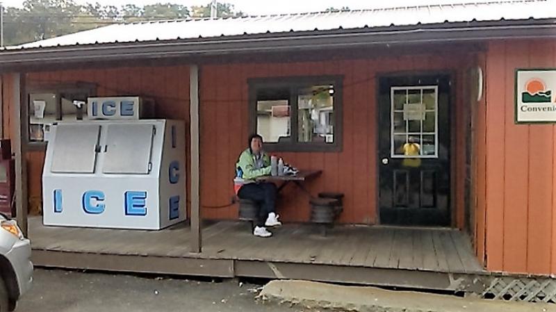
I'm sure there is more elegant dining available in Rockwood than the Country Trail gas station and convenience store. But we usually end up here because it is just across the bridge from the trail; and we enjoy the pizza slices and subs.
I forgot to mention another milestone, completion of the trail through Garrett. Previously, entering Garret you were put on a very rough gravel road for a couple of blocks.
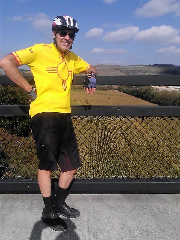
Had to get one picture on the Salisbury Viaduct.
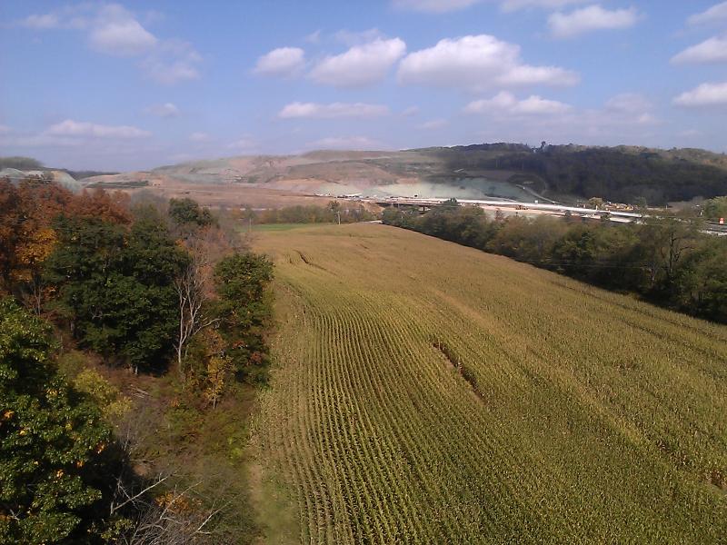
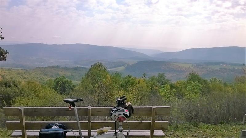
View from the eastern end of the Viaduct. Strangely enought, about the only agriculture you will see on the GAP is near the highest point, i.e., in the vicinity of Meyersdale.
Same background
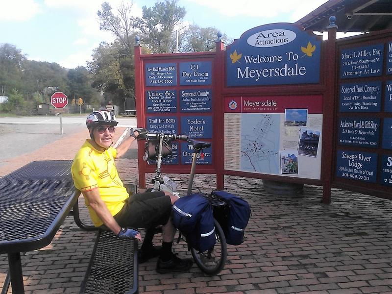
The Meyersdale visitor center in the old train station. The Yoder Motel ad to the left of the map is a bit out of date. It was taken over by a new owner and reincarnated as the Yoder Guest House.
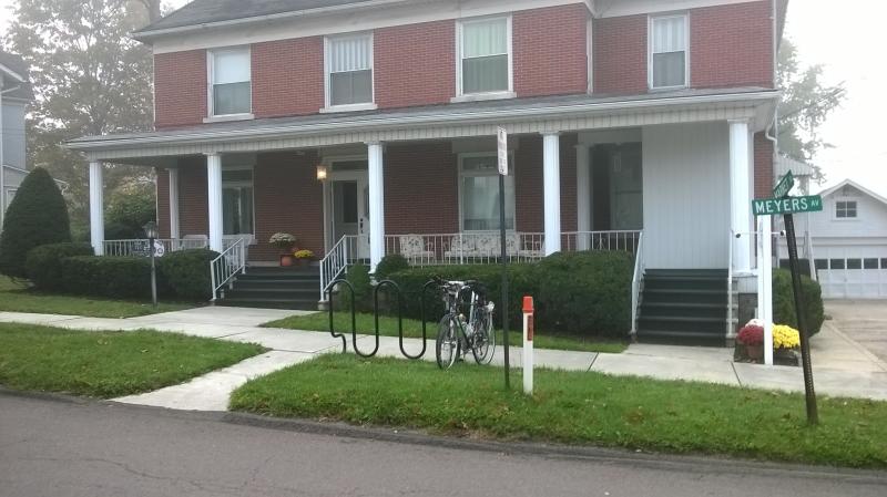
The former Yoder Model was a rooming house that had a few guest rooms for travelers, sort of a B&B with out the breakfast. The guest house is a real B&B, with a continental breakfast complete with a keurig coffee maker.
Our third floor room is not as small as it looks. The rest of the L-shaped room is to the right.
Jeanine leaving Meyersdale after we climbed the steep hill up from the center of town to the trail.
The Keystone Viaduct between Meyersdale and Deal.
A nasty old oil train viewed from the Keystone Viaduct. The active RR line is still following us, but no longer separated from us by a river.
Exiting the Keystone Viaduct
A RR cut at the east end of the Keystone Viaduct
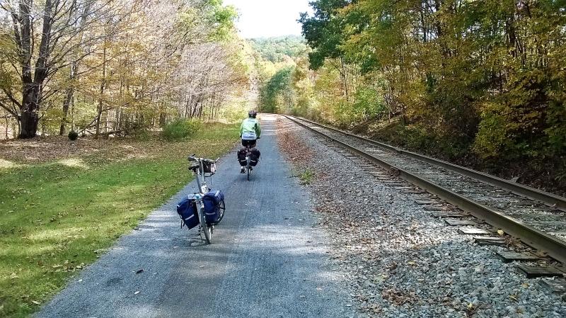
After Meyersday we follow Flaugherty Creek which gradually disappears as we approach the Eastern continental divide.
I beat Jeanine to the bench near the Big Savage Tunnel
Waiting for Jeanine at the entrance to the Big Savage Tunnel
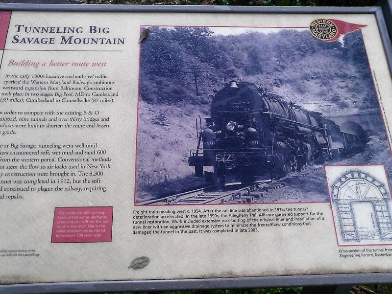
The sign board explains why the Big Savage tunnel was built.
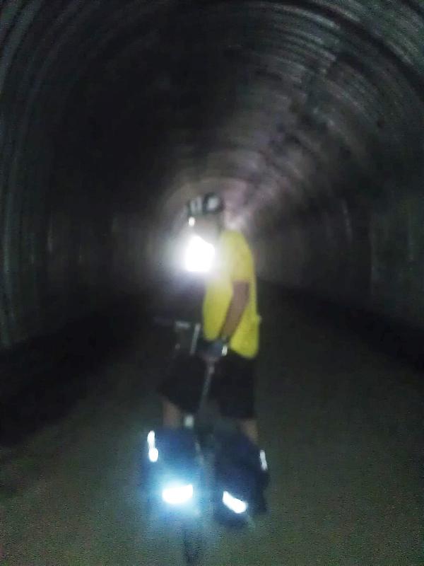
Inside Big Savage
Looking towards the Potomac Valley from the east portal of the Big Savage Tunnel.
Same spot, but looking back towards the east portal which is just around the corner
Near the Mason-Dixon Line, sailing down towards Frostburg
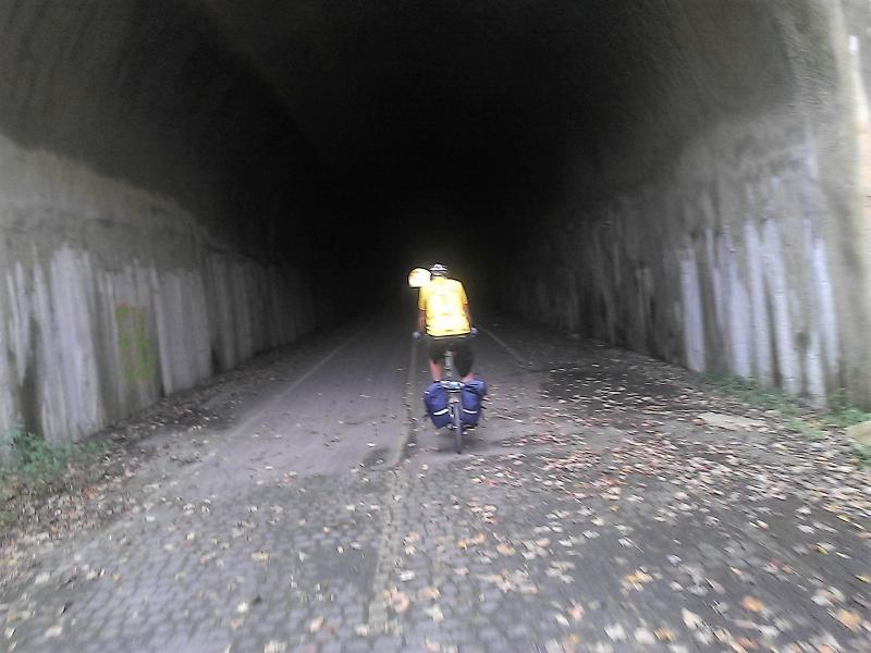
It's not lighted, so it must be the Borden Tunnel
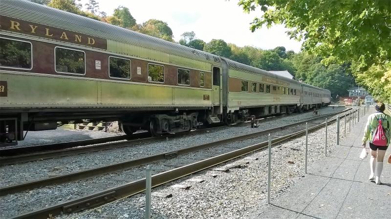
This time we climbed the zig-zag trail to the Frostburg depot and were rewarded when a train pulled in from Cumberland.
It was a very long train and a huge group of people de-trained.
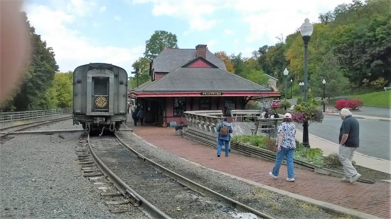
The last time we were here, a steam engine was doing the honors. We weren't so lucky this time.
But we did see the engine turn around on the vintage turn table.
The turned engine will run around the coaches and hook onto the other end for the trip back to Cumberland.
We've joined the RR line for the last 15 miles into Cumberland
Big Savage, MD in the background
We arrived in Cumberland in plenty of time to catch the 7:26 west bound Capitol Limited. As before we hung out for a while in the very nice lobby at the Ramada Inn.
For a review of the roll-on, roll-off bike service, see
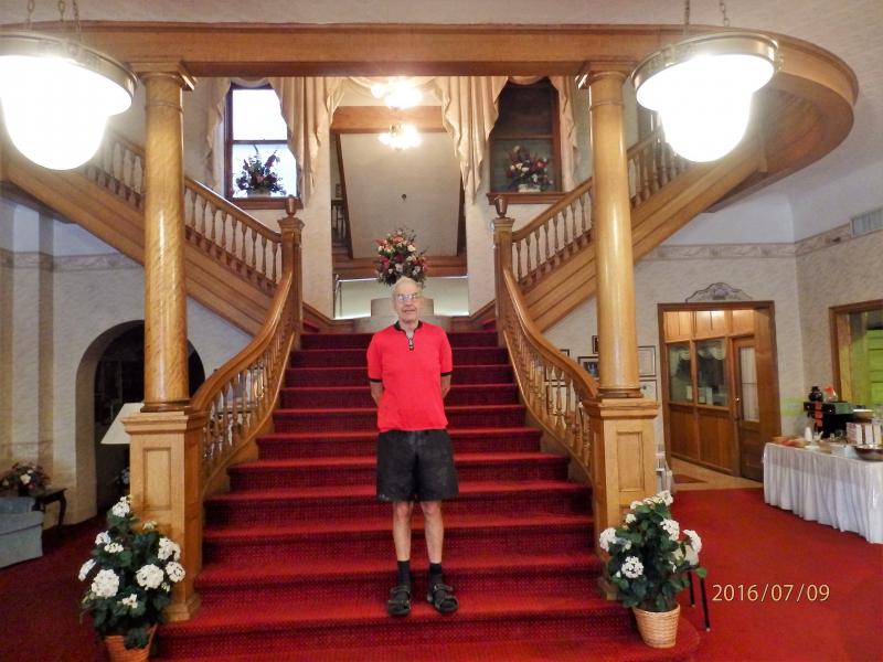
A No-BrainerRenovated signature staircase at Failinger's Hotel Gunter, Frostburg, MD (2016 trip)
First Previous Next Last